Area Overview for BN8 4QX
Photos of BN8 4QX
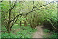
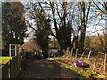
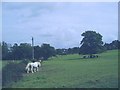
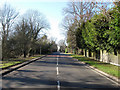
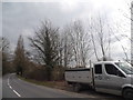
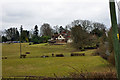
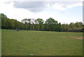
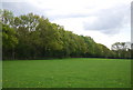
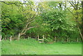
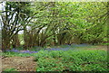
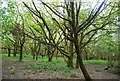
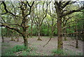
41 photos from this area
Area Information
Key information about the BN8 4QX including its size, population, and administrative classification.
- Area Type
- Postcode
- Area Size
- 56.8 hectares
- Population
- 1867
- Population Density
- 82 people/km²
House Prices in BN8 4QX
34
Properties
£761,818
Average Sold Price
£270,000
Lowest Price
£1,900,000
Highest Price
Showing 34 properties
| Address | Type | Beds | Baths | Last Sale Price | Last Sale Date | |
|---|---|---|---|---|---|---|
| Gramercy, Jackies Lane, Newick, BN8 4QX | house | 7 | 5 | £1,800,000 | Feb 2025 | |
| Freshwater House, Jackies Lane, Newick, BN8 4QX | house | 5 | 3 | £1,900,000 | Oct 2024 | |
| The Lodge, Reedens, Jackies Lane, Newick, BN8 4QX | house | - | - | £610,000 | Sep 2022 | |
| Newick Hill House, Jackies Lane, Newick, BN8 4QX | Detached | 5 | 2 | £1,100,000 | Dec 2016 | |
| Wyndrush, Jackies Lane, Newick, BN8 4QX | Detached | 4 | 2 | £600,000 | May 2016 | |
| Silverdale Farm, Jackies Lane, Newick, BN8 4QX | Semi-detached | 3 | - | £372,000 | Jun 2014 | |
| Eden Croft, Jackies Lane, Newick, BN8 4QX | house | - | - | £520,000 | Dec 2012 | |
| Red Roofs, Jackies Lane, Newick, BN8 4QX | Detached | - | - | £543,000 | Jun 2004 | |
| Tanglewood Farm, Jackies Lane, Newick, BN8 4QX | Semi-detached | - | - | £300,000 | Dec 2002 | |
| Bramleys, Jackies Lane, Newick, BN8 4QX | Detached | - | - | £365,000 | Jul 2001 |
Page 1 of 4
Energy Efficiency in BN8 4QX
Amenities
Schools
| Rank | School | Type | Entry gender | Ages |
|---|
Explore more schools in this area
Go to Schools tabDemographics
Household Size
Two person
most common
Accommodation Type
Houses
most common
Tenure
85
majority
Ethnic Group
White
most common
Religion
N/A
most common
Household Composition
N/A
most common
Age
47
median
Adults (30-64 years)
most common
Household Deprivation
N/A
with no deprivation
NS-SEC
48
in Lower managerial occupations
Explore more demographic insights in this area
Go to Demographics tabPlanning
Planning Constraints
- Flood RiskPremium
- Ramsar Wetland SitesPremium
- Area of Outstanding Natural BeautyPremium
- Protected Nature ReservePremium
- Protected WoodlandPremium