Area Overview for BN8 4BG
Photos of BN8 4BG
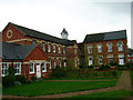
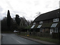
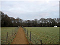
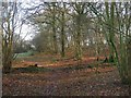
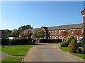
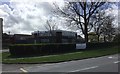

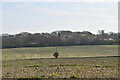
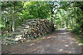
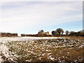
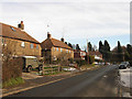
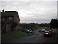
59 photos from this area
Area Information
Key information about the BN8 4BG including its size, population, and administrative classification.
- Area Type
- Postcode
- Area Size
- 16.3 hectares
- Population
- 1108
- Population Density
- 519 people/km²
House Prices in BN8 4BG
9
Properties
£360,000
Average Sold Price
£245,000
Lowest Price
£417,500
Highest Price
Showing 9 properties
| Address | Type | Beds | Baths | Last Sale Price | Last Sale Date | |
|---|---|---|---|---|---|---|
| Brambles, South Street, South Chailey, BN8 4BG | Bungalow | 3 | 1 | £400,000 | Oct 2024 | |
| 2, Turnpike Cottages, South Street, South Chailey, BN8 4BG | house | - | - | £417,500 | Apr 2021 | |
| 1, Turnpike Cottages, South Street, South Chailey, BN8 4BG | Land | 4 | - | £399,500 | Jun 2016 | |
| Kingates, South Street, South Chailey, BN8 4BG | house | - | - | £338,000 | Nov 2013 | |
| Bridle Path, South Street, South Chailey, BN8 4BG | Bungalow | - | - | £245,000 | Nov 2009 | |
| Flat, 5 South Street, South Chailey, BN8 4BG | Flat | - | - | - | - | |
| Turnpike, South Street, South Chailey, BN8 4BG | Detached | 4 | 2 | - | - | |
| Simmonds Farm, South Street, South Chailey, BN8 4BG | Detached | 3 | 1 | - | - | |
| Mccoll's, 5 South Street, South Chailey, BN8 4BG | office_workshop | - | - | - | - |
Energy Efficiency in BN8 4BG
Amenities
Schools
| Rank | School | Type | Entry gender | Ages |
|---|
Explore more schools in this area
Go to Schools tabDemographics
Household Size
Two person
most common
Accommodation Type
Houses
most common
Tenure
67
majority
Ethnic Group
White
most common
Religion
N/A
most common
Household Composition
N/A
most common
Age
47
median
Adults (30-64 years)
most common
Household Deprivation
N/A
with no deprivation
NS-SEC
36
in Lower managerial occupations
Explore more demographic insights in this area
Go to Demographics tabPlanning
Planning Constraints
- Flood RiskPremium
- Ramsar Wetland SitesPremium
- Area of Outstanding Natural BeautyPremium
- Protected Nature ReservePremium
- Protected WoodlandPremium