Area Overview for BN7 1SU
Photos of BN7 1SU
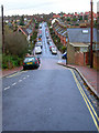
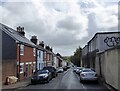
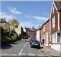
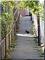
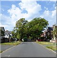
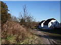
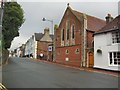
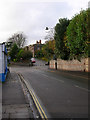
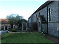
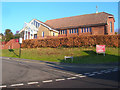
100 photos from this area
Area Information
Key information about the BN7 1SU including its size, population, and administrative classification.
- Area Type
- Postcode
- Area Size
- 5150 m²
- Population
- 1520
- Population Density
- 4047 people/km²
House Prices in BN7 1SU
30
Properties
£378,722
Average Sold Price
£105,000
Lowest Price
£615,000
Highest Price
Showing 30 properties
| Address | Type | Beds | Baths | Last Sale Price | Last Sale Date | |
|---|---|---|---|---|---|---|
| 43 Leicester Road, Lewes, BN7 1SU | house | - | - | £612,500 | Dec 2022 | |
| 13 Leicester Road, Lewes, BN7 1SU | Terraced | 3 | 2 | £615,000 | Sep 2022 | |
| 3 Leicester Road, Lewes, BN7 1SU | house | 3 | - | £552,500 | Sep 2021 | |
| 23 Leicester Road, Lewes, BN7 1SU | Terraced | 3 | 1 | £530,000 | Feb 2021 | |
| 11 Leicester Road, Lewes, BN7 1SU | house | - | - | £540,000 | Feb 2021 | |
| 31 Leicester Road, Lewes, BN7 1SU | Terraced | 3 | 1 | £535,000 | Oct 2020 | |
| 17 Leicester Road, Lewes, BN7 1SU | house | - | - | £400,000 | Jan 2017 | |
| 55 Leicester Road, Lewes, BN7 1SU | Terraced | 3 | 2 | £425,000 | Oct 2014 | |
| 57 Leicester Road, Lewes, BN7 1SU | Terraced | 2 | 1 | £385,000 | Feb 2014 | |
| 39 Leicester Road, Lewes, BN7 1SU | Terraced | 2 | - | £362,000 | Oct 2013 |
Page 1 of 3
Energy Efficiency in BN7 1SU
Amenities
Schools
| Rank | School | Type | Entry gender | Ages |
|---|
Explore more schools in this area
Go to Schools tabDemographics
Household Size
Family (3-5 people)
most common
Accommodation Type
Houses
most common
Tenure
67
majority
Ethnic Group
White
most common
Religion
N/A
most common
Household Composition
N/A
most common
Age
47
median
Adults (30-64 years)
most common
Household Deprivation
N/A
with no deprivation
NS-SEC
44
in Lower managerial occupations
Explore more demographic insights in this area
Go to Demographics tabPlanning
Planning Constraints
- Flood RiskPremium
- Ramsar Wetland SitesPremium
- Area of Outstanding Natural BeautyPremium
- Protected Nature ReservePremium
- Protected WoodlandPremium