Area Overview for BN6 9UY
Photos of BN6 9UY
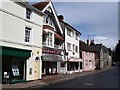
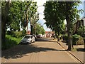
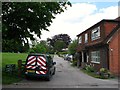
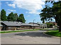
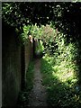
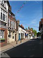
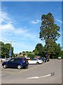
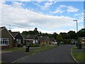
100 photos from this area
Area Information
Key information about the BN6 9UY including its size, population, and administrative classification.
- Area Type
- Postcode
- Area Size
- 4.9 hectares
- Population
- 1540
- Population Density
- 1322 people/km²
House Prices in BN6 9UY
33
Properties
£405,287
Average Sold Price
£89,950
Lowest Price
£1,050,000
Highest Price
Showing 33 properties
| Address | Type | Beds | Baths | Last Sale Price | Last Sale Date | |
|---|---|---|---|---|---|---|
| 17 Trinity Road, Hurstpierpoint, BN6 9UY | Semi-detached | 2 | 1 | £385,000 | Aug 2024 | |
| 31 Trinity Road, Hurstpierpoint, BN6 9UY | house | 4 | 2 | £720,000 | Jul 2024 | |
| 35 Trinity Road, Hurstpierpoint, BN6 9UY | Detached | 4 | 3 | £790,000 | Aug 2022 | |
| 1 Trinity Road, Hurstpierpoint, BN6 9UY | Semi-detached | 3 | 1 | £510,000 | Jun 2022 | |
| 23 Trinity Road, Hurstpierpoint, BN6 9UY | house | - | - | £575,000 | May 2022 | |
| 16 Trinity Road, Hurstpierpoint, BN6 9UY | Detached | 3 | - | £530,000 | Nov 2021 | |
| 27 Trinity Road, Hurstpierpoint, BN6 9UY | Detached | 2 | 1 | £375,000 | Aug 2021 | |
| 5 Trinity Road, Hurstpierpoint, BN6 9UY | Semi-detached | 3 | 1 | £417,100 | Mar 2021 | |
| 29 Trinity Road, Hurstpierpoint, BN6 9UY | Detached | 4 | - | £845,000 | Jan 2021 | |
| 15 Trinity Road, Hurstpierpoint, BN6 9UY | house | 4 | - | £457,000 | Dec 2020 |
Page 1 of 4
Energy Efficiency in BN6 9UY
Amenities
Schools
| Rank | School | Type | Entry gender | Ages |
|---|
Explore more schools in this area
Go to Schools tabDemographics
Household Size
Two person
most common
Accommodation Type
Houses
most common
Tenure
90
majority
Ethnic Group
White
most common
Religion
N/A
most common
Household Composition
N/A
most common
Age
47
median
Adults (30-64 years)
most common
Household Deprivation
N/A
with no deprivation
NS-SEC
53
in Lower managerial occupations
Explore more demographic insights in this area
Go to Demographics tabPlanning
Planning Constraints
- Flood RiskPremium
- Ramsar Wetland SitesPremium
- Area of Outstanding Natural BeautyPremium
- Protected Nature ReservePremium
- Protected WoodlandPremium