Area Overview for BN6 9BN
Photos of BN6 9BN
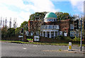
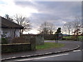
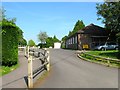
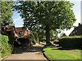
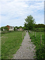
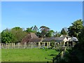

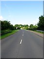
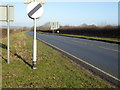
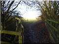
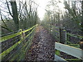
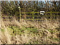
100 photos from this area
Area Information
Key information about the BN6 9BN including its size, population, and administrative classification.
- Area Type
- Postcode
- Area Size
- 15.6 hectares
- Population
- 1772
- Population Density
- 74 people/km²
House Prices in BN6 9BN
13
Properties
£562,500
Average Sold Price
£495,000
Lowest Price
£607,500
Highest Price
Showing 13 properties
| Address | Type | Beds | Baths | Last Sale Price | Last Sale Date | |
|---|---|---|---|---|---|---|
| 3, Downsview Cottages, London Road, Albourne, BN6 9BN | Detached | 4 | - | £607,500 | Mar 2025 | |
| 4, Downsview Cottages, London Road, Albourne, BN6 9BN | Detached | 4 | 3 | £585,000 | Feb 2022 | |
| Magnolia View, London Road, Albourne, BN6 9BN | Land | - | - | £495,000 | Oct 2019 | |
| 1, Downsview Cottages, London Road, Albourne, BN6 9BN | Detached | 4 | 3 | - | - | |
| 2, Downsview Cottages, London Road, Albourne, BN6 9BN | Detached | 4 | - | - | - | |
| Softech Rail Ltd, Part Ground Floor Rear, Softech House, London Road, Albourne, BN6 9BN | Office | - | - | - | - | |
| Promep Limited, Second Floor, Softech House, London Road, Albourne, BN6 9BN | Office | - | - | - | - | |
| Softech Digital Ltd, Suite 3, Softech House, London Road, Albourne, BN6 9BN | Office | - | - | - | - | |
| Stylo Renovations Ltd, Suite 2, Softech House, London Road, Albourne, BN6 9BN | Office | - | - | - | - | |
| Softtech Health Ltd, Suite 1, Softech House, London Road, Albourne, BN6 9BN | Office | - | - | - | - |
Page 1 of 2
Energy Efficiency in BN6 9BN
Amenities
Schools
| Rank | School | Type | Entry gender | Ages |
|---|
Explore more schools in this area
Go to Schools tabDemographics
Household Size
Two person
most common
Accommodation Type
Houses
most common
Tenure
79
majority
Ethnic Group
White
most common
Religion
N/A
most common
Household Composition
N/A
most common
Age
47
median
Adults (30-64 years)
most common
Household Deprivation
N/A
with no deprivation
NS-SEC
45
in Lower managerial occupations
Explore more demographic insights in this area
Go to Demographics tabPlanning
Planning Constraints
- Flood RiskPremium
- Ramsar Wetland SitesPremium
- Area of Outstanding Natural BeautyPremium
- Protected Nature ReservePremium
- Protected WoodlandPremium