Area Overview for BN6 9AF
Photos of BN6 9AF
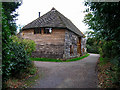
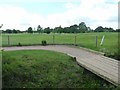
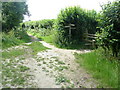
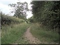
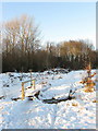
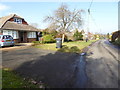
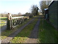
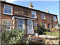
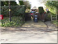
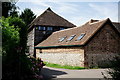
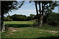
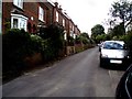
53 photos from this area
Area Information
Key information about the BN6 9AF including its size, population, and administrative classification.
- Area Type
- Postcode
- Area Size
- 15.2 hectares
- Population
- 1540
- Population Density
- 1322 people/km²
House Prices in BN6 9AF
25
Properties
£378,907
Average Sold Price
£21,000
Lowest Price
£880,000
Highest Price
Showing 25 properties
| Address | Type | Beds | Baths | Last Sale Price | Last Sale Date | |
|---|---|---|---|---|---|---|
| 131 College Lane, Hurstpierpoint, BN6 9AF | Bungalow | 3 | 2 | £735,000 | Sep 2023 | |
| Goldings, 1 College Place, Hurstpierpoint, BN6 9AF | house | - | - | £880,000 | Jul 2020 | |
| 143 College Lane, Hurstpierpoint, BN6 9AF | house | - | - | £787,500 | Aug 2011 | |
| 141 College Lane, Hurstpierpoint, BN6 9AF | Detached | - | - | £565,000 | Jul 2008 | |
| 137 College Lane, Hurstpierpoint, BN6 9AF | Detached | - | - | £430,000 | Feb 2007 | |
| 117 College Lane, Hurstpierpoint, BN6 9AF | Detached | - | - | £395,000 | Aug 2006 | |
| 161 College Lane, Hurstpierpoint, BN6 9AF | Terraced | 4 | 2 | £325,000 | Dec 2005 | |
| 133 College Lane, Hurstpierpoint, BN6 9AF | Bungalow | 2 | - | £224,000 | Aug 2002 | |
| 113 College Lane, Hurstpierpoint, BN6 9AF | Detached | - | - | £231,150 | Nov 2001 | |
| 139 College Lane, Hurstpierpoint, BN6 9AF | Detached | - | - | £315,000 | May 2001 |
Page 1 of 3
Energy Efficiency in BN6 9AF
Amenities
Schools
| Rank | School | Type | Entry gender | Ages |
|---|
Explore more schools in this area
Go to Schools tabDemographics
Household Size
Two person
most common
Accommodation Type
Houses
most common
Tenure
90
majority
Ethnic Group
White
most common
Religion
N/A
most common
Household Composition
N/A
most common
Age
47
median
Adults (30-64 years)
most common
Household Deprivation
N/A
with no deprivation
NS-SEC
53
in Lower managerial occupations
Explore more demographic insights in this area
Go to Demographics tabPlanning
Planning Constraints
- Flood RiskPremium
- Ramsar Wetland SitesPremium
- Area of Outstanding Natural BeautyPremium
- Protected Nature ReservePremium
- Protected WoodlandPremium