Area Overview for BN5 9PP
Photos of BN5 9PP
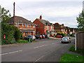
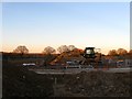
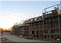
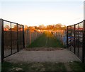
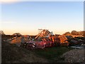
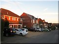
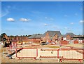
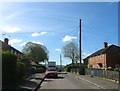
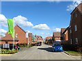
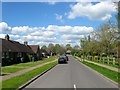
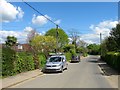
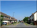
100 photos from this area
Area Information
Key information about the BN5 9PP including its size, population, and administrative classification.
- Area Type
- Postcode
- Area Size
- 7.6 hectares
- Population
- 1900
- Population Density
- 1705 people/km²
House Prices in BN5 9PP
35
Properties
£300,100
Average Sold Price
£90,000
Lowest Price
£475,000
Highest Price
Showing 35 properties
| Address | Type | Beds | Baths | Last Sale Price | Last Sale Date | |
|---|---|---|---|---|---|---|
| 11 Staples Barn, Henfield, BN5 9PP | Detached | 3 | 1 | £475,000 | Oct 2025 | |
| 45 Staples Barn, Henfield, BN5 9PP | house | 2 | 1 | £390,000 | Dec 2021 | |
| Romor, 9 Staples Barn, Henfield, BN5 9PP | house | - | - | £450,000 | Sep 2021 | |
| 19 Staples Barn, Henfield, BN5 9PP | house | - | - | £325,000 | Feb 2016 | |
| 21 Staples Barn, Henfield, BN5 9PP | house | - | - | £326,000 | Sep 2014 | |
| 43 Staples Barn, Henfield, BN5 9PP | house | 3 | 2 | £299,950 | Aug 2014 | |
| 23 Staples Barn, Henfield, BN5 9PP | Semi-detached | - | - | £249,950 | Feb 2007 | |
| 41 Staples Barn, Henfield, BN5 9PP | house | - | - | £90,000 | Feb 1999 | |
| 13 Staples Barn, Henfield, BN5 9PP | Semi-detached | - | - | £95,000 | Jan 1998 | |
| 7 Staples Barn, Henfield, BN5 9PP | Semi-detached | 3 | 1 | - | - |
Page 1 of 4
Energy Efficiency in BN5 9PP
Amenities
Schools
| Rank | School | Type | Entry gender | Ages |
|---|
Explore more schools in this area
Go to Schools tabDemographics
Household Size
One person
most common
Accommodation Type
Houses
most common
Tenure
57
majority
Ethnic Group
White
most common
Religion
N/A
most common
Household Composition
N/A
most common
Age
47
median
Adults (30-64 years)
most common
Household Deprivation
N/A
with no deprivation
NS-SEC
35
in Lower managerial occupations
Explore more demographic insights in this area
Go to Demographics tabPlanning
Planning Constraints
- Flood RiskPremium
- Ramsar Wetland SitesPremium
- Area of Outstanding Natural BeautyPremium
- Protected Nature ReservePremium
- Protected WoodlandPremium