Area Overview for BN5 9PL
Photos of BN5 9PL
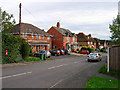
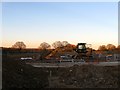
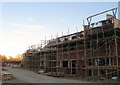
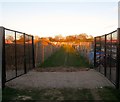
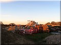
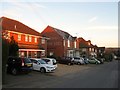
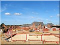
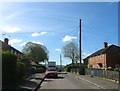
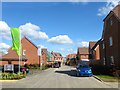
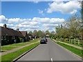
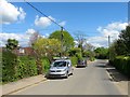
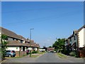
100 photos from this area
Area Information
Key information about the BN5 9PL including its size, population, and administrative classification.
- Area Type
- Postcode
- Area Size
- 2.8 hectares
- Population
- 2540
- Population Density
- 252 people/km²
House Prices in BN5 9PL
28
Properties
£522,738
Average Sold Price
£130,000
Lowest Price
£875,000
Highest Price
Showing 28 properties
| Address | Type | Beds | Baths | Last Sale Price | Last Sale Date | |
|---|---|---|---|---|---|---|
| Weavers, Upper Station Road, Henfield, BN5 9PL | Bungalow | 2 | 1 | £600,000 | Mar 2025 | |
| Copper Beeches, Upper Station Road, Henfield, BN5 9PL | house | - | - | £750,000 | Jan 2024 | |
| Old Barnes Cottage, Upper Station Road, Henfield, BN5 9PL | Detached | 2 | 1 | £685,000 | Jun 2022 | |
| Fairview, Upper Station Road, Henfield, BN5 9PL | house | - | - | £875,000 | Feb 2022 | |
| Holroyds, Upper Station Road, Henfield, BN5 9PL | Retail | 4 | 2 | £705,000 | Feb 2021 | |
| Aquarius, Upper Station Road, Henfield, BN5 9PL | Detached | 3 | 1 | £635,000 | Feb 2021 | |
| The Gables, Upper Station Road, Henfield, BN5 9PL | house | - | - | £735,000 | Aug 2020 | |
| Hunters End, Upper Station Road, Henfield, BN5 9PL | Bungalow | - | - | £740,000 | Jan 2020 | |
| Clemsfold, Upper Station Road, Henfield, BN5 9PL | Bungalow | 4 | 1 | £420,000 | Nov 2019 | |
| Sunnyside, Upper Station Road, Henfield, BN5 9PL | Semi-detached | 4 | 1 | £560,000 | Jun 2015 |
Page 1 of 3
Energy Efficiency in BN5 9PL
Amenities
Schools
| Rank | School | Type | Entry gender | Ages |
|---|
Explore more schools in this area
Go to Schools tabDemographics
Household Size
Two person
most common
Accommodation Type
Houses
most common
Tenure
79
majority
Ethnic Group
White
most common
Religion
N/A
most common
Household Composition
N/A
most common
Age
47
median
Adults (30-64 years)
most common
Household Deprivation
N/A
with no deprivation
NS-SEC
42
in Lower managerial occupations
Explore more demographic insights in this area
Go to Demographics tabPlanning
Planning Constraints
- Flood RiskPremium
- Ramsar Wetland SitesPremium
- Area of Outstanding Natural BeautyPremium
- Protected Nature ReservePremium
- Protected WoodlandPremium