Area Overview for BN5 9HS
Photos of BN5 9HS
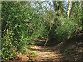
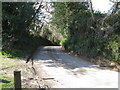
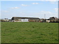
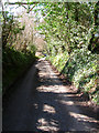
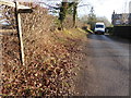
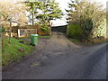
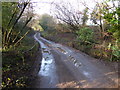
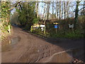
62 photos from this area
Area Information
Key information about the BN5 9HS including its size, population, and administrative classification.
- Area Type
- Postcode
- Area Size
- 38.6 hectares
- Population
- 2540
- Population Density
- 252 people/km²
House Prices in BN5 9HS
25
Properties
£671,545
Average Sold Price
£225,000
Lowest Price
£1,390,000
Highest Price
Showing 25 properties
| Address | Type | Beds | Baths | Last Sale Price | Last Sale Date | |
|---|---|---|---|---|---|---|
| Badger House, Furners Lane, Henfield, BN5 9HS | Detached | 4 | - | £249,500 | Mar 2025 | |
| The Old Orchard, Furners Lane, Henfield, BN5 9HS | Bungalow | - | - | £869,500 | Jun 2018 | |
| Furners Farm, Furners Lane, Henfield, BN5 9HS | house | - | - | £845,000 | Jun 2017 | |
| Beare Cottage, Furners Lane, Henfield, BN5 9HS | house | - | - | £730,000 | Jan 2017 | |
| Redstone, Furners Lane, Henfield, BN5 9HS | house | - | - | £295,500 | Aug 2015 | |
| Furners Keep, Furners Lane, Henfield, BN5 9HS | Detached | 4 | 2 | £872,500 | Nov 2014 | |
| Portland House, Furners Lane, Henfield, BN5 9HS | Detached | - | - | £735,000 | Dec 2013 | |
| Dalblair House, Furners Lane, Henfield, BN5 9HS | Detached | - | - | £860,000 | Nov 2008 | |
| Field House, Furners Lane, Henfield, BN5 9HS | house | 5 | - | £1,390,000 | Nov 2006 | |
| Farthings, Furners Lane, Henfield, BN5 9HS | Detached | - | - | £315,000 | Jun 2004 |
Page 1 of 3
Energy Efficiency in BN5 9HS
Amenities
Schools
| Rank | School | Type | Entry gender | Ages |
|---|
Explore more schools in this area
Go to Schools tabDemographics
Household Size
Two person
most common
Accommodation Type
Houses
most common
Tenure
79
majority
Ethnic Group
White
most common
Religion
N/A
most common
Household Composition
N/A
most common
Age
47
median
Adults (30-64 years)
most common
Household Deprivation
N/A
with no deprivation
NS-SEC
42
in Lower managerial occupations
Explore more demographic insights in this area
Go to Demographics tabPlanning
Planning Constraints
- Flood RiskPremium
- Ramsar Wetland SitesPremium
- Area of Outstanding Natural BeautyPremium
- Protected Nature ReservePremium
- Protected WoodlandPremium