Area Overview for BN5 9HN
Photos of BN5 9HN
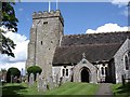
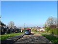
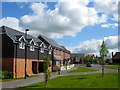
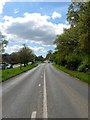
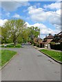
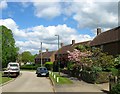
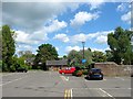
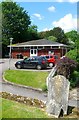
100 photos from this area
Area Information
Key information about the BN5 9HN including its size, population, and administrative classification.
- Area Type
- Postcode
- Area Size
- 4484 m²
- Population
- 1530
- Population Density
- 434 people/km²
House Prices in BN5 9HN
17
Properties
£467,500
Average Sold Price
£295,000
Lowest Price
£640,000
Highest Price
Showing 17 properties
| Address | Type | Beds | Baths | Last Sale Price | Last Sale Date | |
|---|---|---|---|---|---|---|
| Sky View Cottage, High Street, Henfield, BN5 9HN | Bungalow | 2 | 1 | £295,000 | May 2025 | |
| Sage House, High Street, Henfield, BN5 9HN | Maisonette | 2 | 1 | £640,000 | Feb 2021 | |
| The Garden Flat, Jasmine House, High Street, Henfield, BN5 9HN | Bungalow | 4 | 3 | - | - | |
| Flat 1, The Old Bell, High Street, Henfield, BN5 9HN | Flat | - | - | - | - | |
| Flat Above, The Bell Inn, High Street, Henfield, BN5 9HN | Flat | - | - | - | - | |
| Prettys Hair And Beauty, Salon, Ivy House, High Street, Henfield, BN5 9HN | Retail | - | - | - | - | |
| Henfield Funeral Services Ltd, Unit A And B, The Old Bell, High Street, Henfield, BN5 9HN | shop | - | - | - | - | |
| Flat 4, The Old Bell, High Street, Henfield, BN5 9HN | Flat | - | - | - | - | |
| Flat 3, The Old Bell, High Street, Henfield, BN5 9HN | Flat | - | - | - | - | |
| Flat 2, The Old Bell, High Street, Henfield, BN5 9HN | Flat | 1 | 1 | - | - |
Page 1 of 2
Energy Efficiency in BN5 9HN
Amenities
Schools
| Rank | School | Type | Entry gender | Ages |
|---|
Explore more schools in this area
Go to Schools tabDemographics
Household Size
Two person
most common
Accommodation Type
Houses
most common
Tenure
81
majority
Ethnic Group
White
most common
Religion
N/A
most common
Household Composition
N/A
most common
Age
47
median
Elderly (65+ years)
most common
Household Deprivation
N/A
with no deprivation
NS-SEC
46
in Lower managerial occupations
Explore more demographic insights in this area
Go to Demographics tabPlanning
Planning Constraints
- Flood RiskPremium
- Ramsar Wetland SitesPremium
- Area of Outstanding Natural BeautyPremium
- Protected Nature ReservePremium
- Protected WoodlandPremium