Area Overview for BN5 9HG
Photos of BN5 9HG
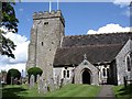
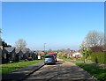
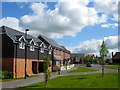
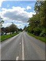
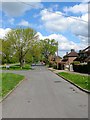
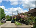
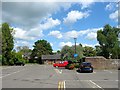
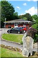
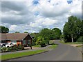
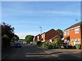
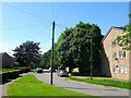
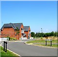
100 photos from this area
Area Information
Key information about the BN5 9HG including its size, population, and administrative classification.
- Area Type
- Postcode
- Area Size
- 5896 m²
- Population
- 1900
- Population Density
- 1705 people/km²
House Prices in BN5 9HG
15
Properties
£321,230
Average Sold Price
£67,500
Lowest Price
£730,000
Highest Price
Showing 15 properties
| Address | Type | Beds | Baths | Last Sale Price | Last Sale Date | |
|---|---|---|---|---|---|---|
| 1 Stag Close, Henfield, BN5 9HG | Detached | 5 | 2 | £730,000 | Jul 2025 | |
| 6 Stag Close, Henfield, BN5 9HG | Detached | 5 | 2 | £715,000 | May 2025 | |
| 10 Stag Close, Henfield, BN5 9HG | house | 2 | 1 | £385,000 | Jun 2023 | |
| 2 Stag Close, Henfield, BN5 9HG | Detached | 3 | 2 | £477,000 | Feb 2021 | |
| 11 Stag Close, Henfield, BN5 9HG | Retail | 2 | 1 | £320,000 | Feb 2021 | |
| 14 Stag Close, Henfield, BN5 9HG | house | - | - | £277,000 | Apr 2016 | |
| 15 Stag Close, Henfield, BN5 9HG | Detached | 4 | 2 | £410,000 | Jun 2014 | |
| 12 Stag Close, Henfield, BN5 9HG | Semi-detached | 2 | 1 | £225,000 | May 2013 | |
| 16 Stag Close, Henfield, BN5 9HG | house | 3 | - | £344,950 | May 2012 | |
| 4 Stag Close, Henfield, BN5 9HG | house | - | - | £295,000 | Jan 2008 |
Page 1 of 2
Energy Efficiency in BN5 9HG
Amenities
Schools
| Rank | School | Type | Entry gender | Ages |
|---|
Explore more schools in this area
Go to Schools tabDemographics
Household Size
One person
most common
Accommodation Type
Houses
most common
Tenure
57
majority
Ethnic Group
White
most common
Religion
N/A
most common
Household Composition
N/A
most common
Age
47
median
Adults (30-64 years)
most common
Household Deprivation
N/A
with no deprivation
NS-SEC
35
in Lower managerial occupations
Explore more demographic insights in this area
Go to Demographics tabPlanning
Planning Constraints
- Flood RiskPremium
- Ramsar Wetland SitesPremium
- Area of Outstanding Natural BeautyPremium
- Protected Nature ReservePremium
- Protected WoodlandPremium