Area Overview for BN5 9AT
Photos of BN5 9AT
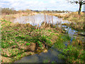
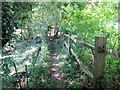
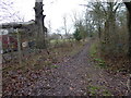
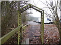
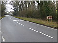
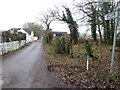
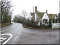
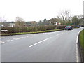
63 photos from this area
Area Information
Key information about the BN5 9AT including its size, population, and administrative classification.
- Area Type
- Postcode
- Area Size
- 39.1 hectares
- Population
- 2540
- Population Density
- 252 people/km²
House Prices in BN5 9AT
53
Properties
£456,214
Average Sold Price
£156,000
Lowest Price
£700,000
Highest Price
Showing 53 properties
| Address | Type | Beds | Baths | Last Sale Price | Last Sale Date | |
|---|---|---|---|---|---|---|
| Adare Cottage, Wheatsheaf Road, Henfield, BN5 9AT | Semi-detached | 3 | 2 | £525,000 | May 2022 | |
| Rushfold, Wheatsheaf Road, Henfield, BN5 9AT | Bungalow | 1 | 1 | £575,000 | Jan 2022 | |
| Little Finches, Wheatsheaf Road, Henfield, BN5 9AT | Detached | 3 | 2 | £700,000 | Dec 2020 | |
| Border View, Wheatsheaf Road, Henfield, BN5 9AT | house | - | - | £430,000 | Oct 2017 | |
| Chanctonbury, Wheatsheaf Road, Henfield, BN5 9AT | house | - | - | £277,500 | Sep 2006 | |
| Broad View, Wheatsheaf Road, Henfield, BN5 9AT | Detached | - | - | £530,000 | Jan 2000 | |
| Downsview, Wheatsheaf Road, Henfield, BN5 9AT | Semi-detached | - | - | £156,000 | Sep 1998 | |
| Swallows, Wheatsheaf Road, Henfield, BN5 9AT | Detached | 4 | 3 | - | - | |
| Mobile Home, Morlands Farm, Wheatsheaf Road, Henfield, BN5 9AT | Detached | 4 | 3 | - | - | |
| The Cottage, Morlands Farm, Wheatsheaf Road, Henfield, BN5 9AT | Detached | - | - | - | - |
Page 1 of 6
Energy Efficiency in BN5 9AT
Amenities
Schools
| Rank | School | Type | Entry gender | Ages |
|---|
Explore more schools in this area
Go to Schools tabDemographics
Household Size
Two person
most common
Accommodation Type
Houses
most common
Tenure
79
majority
Ethnic Group
White
most common
Religion
N/A
most common
Household Composition
N/A
most common
Age
47
median
Adults (30-64 years)
most common
Household Deprivation
N/A
with no deprivation
NS-SEC
42
in Lower managerial occupations
Explore more demographic insights in this area
Go to Demographics tabPlanning
Planning Constraints
- Flood RiskPremium
- Ramsar Wetland SitesPremium
- Area of Outstanding Natural BeautyPremium
- Protected Nature ReservePremium
- Protected WoodlandPremium