Area Overview for BN44 3WJ
Photos of BN44 3WJ
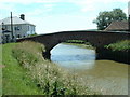
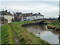
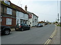
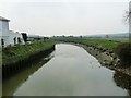
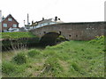
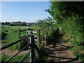
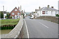
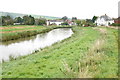
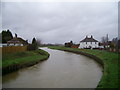
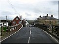
100 photos from this area
Area Information
Key information about the BN44 3WJ including its size, population, and administrative classification.
- Area Type
- Postcode
- Area Size
- 1.7 hectares
- Population
- Not available
- Population Density
- Not available
House Prices in BN44 3WJ
24
Properties
£178,071
Average Sold Price
£62,000
Lowest Price
£369,000
Highest Price
Showing 24 properties
| Address | Type | Beds | Baths | Last Sale Price | Last Sale Date | |
|---|---|---|---|---|---|---|
| 12 Hyde Lane, Upper Beeding, BN44 3WJ | Bungalow | - | - | £369,000 | Oct 2019 | |
| 7 Hyde Lane, Upper Beeding, BN44 3WJ | Bungalow | 3 | - | £200,000 | Aug 2013 | |
| 2 Hyde Lane, Upper Beeding, BN44 3WJ | house | - | - | £330,000 | Feb 2012 | |
| 21 Hyde Lane, Upper Beeding, BN44 3WJ | house | 3 | - | £230,000 | Oct 2010 | |
| 8 Hyde Lane, Upper Beeding, BN44 3WJ | Bungalow | - | - | £175,000 | Jul 2009 | |
| 1 Hyde Lane, Upper Beeding, BN44 3WJ | Semi-detached | - | - | £175,000 | Mar 2004 | |
| 9 Hyde Lane, Upper Beeding, BN44 3WJ | Semi-detached | - | - | £169,995 | Mar 2003 | |
| 20 Hyde Lane, Upper Beeding, BN44 3WJ | Detached | - | - | £205,000 | Feb 2003 | |
| 5 Hyde Lane, Upper Beeding, BN44 3WJ | Semi-detached | - | - | £142,000 | Sep 2002 | |
| 18 Hyde Lane, Upper Beeding, BN44 3WJ | Detached | - | - | £146,000 | Dec 2001 |
Page 1 of 3
Energy Efficiency in BN44 3WJ
Amenities
Schools
| Rank | School | Type | Entry gender | Ages |
|---|
Explore more schools in this area
Go to Schools tabDemographics
Household Size
Family (3-5 people)
most common
Accommodation Type
Houses
most common
Tenure
73
majority
Ethnic Group
White
most common
Religion
N/A
most common
Household Composition
N/A
most common
Age
47
median
Adults (30-64 years)
most common
Household Deprivation
N/A
with no deprivation
NS-SEC
35
in Lower managerial occupations
Explore more demographic insights in this area
Go to Demographics tabPlanning
Planning Constraints
- Flood RiskPremium
- Ramsar Wetland SitesPremium
- Area of Outstanding Natural BeautyPremium
- Protected Nature ReservePremium
- Protected WoodlandPremium