Area Overview for BN43 5XL
Photos of BN43 5XL
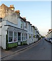
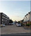
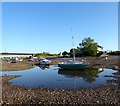

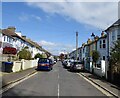
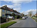
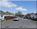
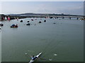
100 photos from this area
Area Information
Key information about the BN43 5XL including its size, population, and administrative classification.
- Area Type
- Postcode
- Area Size
- 5.3 hectares
- Population
- 1394
- Population Density
- 4119 people/km²
House Prices in BN43 5XL
88
Properties
£343,467
Average Sold Price
£20,000
Lowest Price
£650,000
Highest Price
Showing 88 properties
| Address | Type | Beds | Baths | Last Sale Price | Last Sale Date | |
|---|---|---|---|---|---|---|
| 126 Greenacres, Shoreham By Sea, BN43 5XL | Semi-detached | 3 | 1 | £467,000 | Jan 2025 | |
| 156 Greenacres, Shoreham By Sea, BN43 5XL | Semi-detached | 3 | 1 | £510,000 | Jan 2024 | |
| 134 Greenacres, Shoreham By Sea, BN43 5XL | Terraced | 3 | 1 | £420,000 | Nov 2023 | |
| 162 Greenacres, Shoreham By Sea, BN43 5XL | Terraced | 5 | 1 | £535,000 | Sep 2023 | |
| 161 Greenacres, Shoreham By Sea, BN43 5XL | house | - | - | £485,000 | Dec 2022 | |
| 120 Greenacres, Shoreham By Sea, BN43 5XL | Retail | 3 | 1 | £530,000 | Nov 2022 | |
| 81 Greenacres, Shoreham By Sea, BN43 5XL | Semi-detached | 3 | 2 | £650,000 | Sep 2022 | |
| 98 Greenacres, Shoreham By Sea, BN43 5XL | Semi-detached | 3 | - | £613,650 | Aug 2022 | |
| 118 Greenacres, Shoreham By Sea, BN43 5XL | house | - | - | £525,000 | May 2022 | |
| 110 Greenacres, Shoreham By Sea, BN43 5XL | house | - | - | £450,000 | Feb 2022 |
Page 1 of 9
Energy Efficiency in BN43 5XL
Amenities
Schools
| Rank | School | Type | Entry gender | Ages |
|---|
Explore more schools in this area
Go to Schools tabDemographics
Household Size
Two person
most common
Accommodation Type
Houses
most common
Tenure
92
majority
Ethnic Group
White
most common
Religion
N/A
most common
Household Composition
N/A
most common
Age
47
median
Adults (30-64 years)
most common
Household Deprivation
N/A
with no deprivation
NS-SEC
48
in Lower managerial occupations
Explore more demographic insights in this area
Go to Demographics tabPlanning
Planning Constraints
- Flood RiskPremium
- Ramsar Wetland SitesPremium
- Area of Outstanding Natural BeautyPremium
- Protected Nature ReservePremium
- Protected WoodlandPremium