Area Overview for BN43 5NX
Photos of BN43 5NX

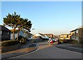
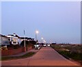

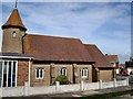
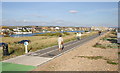
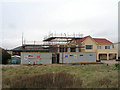

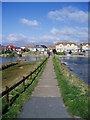

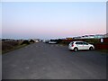
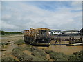
100 photos from this area
Area Information
Key information about the BN43 5NX including its size, population, and administrative classification.
- Area Type
- Postcode
- Area Size
- 7621 m²
- Population
- 2239
- Population Density
- 3457 people/km²
House Prices in BN43 5NX
12
Properties
£382,773
Average Sold Price
£88,500
Lowest Price
£600,000
Highest Price
Showing 12 properties
| Address | Type | Beds | Baths | Last Sale Price | Last Sale Date | |
|---|---|---|---|---|---|---|
| 1 Seahaven Gardens, Shoreham By Sea, BN43 5NX | Detached | 4 | 2 | £581,000 | Oct 2025 | |
| 7 Seahaven Gardens, Shoreham By Sea, BN43 5NX | Detached | 3 | 1 | £580,000 | Sep 2021 | |
| 8 Seahaven Gardens, Shoreham By Sea, BN43 5NX | Detached | 4 | 2 | £525,000 | Aug 2020 | |
| 11 Seahaven Gardens, Shoreham By Sea, BN43 5NX | Detached | 3 | 1 | £600,000 | May 2018 | |
| 10 Seahaven Gardens, Shoreham By Sea, BN43 5NX | Detached | 4 | 2 | £540,000 | Oct 2015 | |
| 3 Seahaven Gardens, Shoreham By Sea, BN43 5NX | Detached | 4 | 2 | £280,000 | Nov 2009 | |
| 12 Seahaven Gardens, Shoreham By Sea, BN43 5NX | house | - | - | £345,000 | Nov 2009 | |
| 9 Seahaven Gardens, Shoreham By Sea, BN43 5NX | Detached | - | - | £363,000 | Mar 2006 | |
| 4 Seahaven Gardens, Shoreham By Sea, BN43 5NX | Detached | - | - | £185,000 | Apr 2002 | |
| 2 Seahaven Gardens, Shoreham By Sea, BN43 5NX | Semi-detached | - | - | £123,000 | Jun 1999 |
Page 1 of 2
Energy Efficiency in BN43 5NX
Amenities
Schools
| Rank | School | Type | Entry gender | Ages |
|---|
Explore more schools in this area
Go to Schools tabDemographics
Household Size
Two person
most common
Accommodation Type
Houses
most common
Tenure
71
majority
Ethnic Group
White
most common
Religion
N/A
most common
Household Composition
N/A
most common
Age
47
median
Adults (30-64 years)
most common
Household Deprivation
N/A
with no deprivation
NS-SEC
43
in Lower managerial occupations
Explore more demographic insights in this area
Go to Demographics tabPlanning
Planning Constraints
- Flood RiskPremium
- Ramsar Wetland SitesPremium
- Area of Outstanding Natural BeautyPremium
- Protected Nature ReservePremium
- Protected WoodlandPremium