Area Overview for BN42 4AG
Photos of BN42 4AG
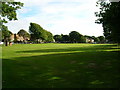
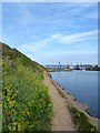
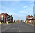
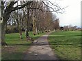
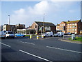
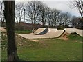
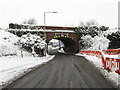
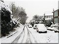
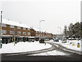
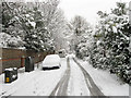
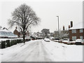
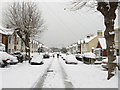
100 photos from this area
Area Information
Key information about the BN42 4AG including its size, population, and administrative classification.
- Area Type
- Postcode
- Area Size
- 1.1 hectares
- Population
- 1688
- Population Density
- 2846 people/km²
House Prices in BN42 4AG
33
Properties
£227,921
Average Sold Price
£46,000
Lowest Price
£420,000
Highest Price
Showing 33 properties
| Address | Type | Beds | Baths | Last Sale Price | Last Sale Date | |
|---|---|---|---|---|---|---|
| 59 Whiterock Place, Southwick, BN42 4AG | Semi-detached | 3 | 1 | £420,000 | Sep 2022 | |
| 23 Whiterock Place, Southwick, BN42 4AG | Terraced | 3 | 2 | £353,000 | Jun 2021 | |
| 25 Whiterock Place, Southwick, BN42 4AG | house | - | - | £330,000 | Jan 2020 | |
| 1 Whiterock Place, Southwick, BN42 4AG | Terraced | 3 | 1 | £325,000 | Feb 2019 | |
| 57 Whiterock Place, Southwick, BN42 4AG | Terraced | 3 | - | £305,000 | Jul 2018 | |
| 7 Whiterock Place, Southwick, BN42 4AG | house | - | - | £297,500 | Jun 2018 | |
| 55 Whiterock Place, Southwick, BN42 4AG | Terraced | 3 | 1 | £299,750 | Apr 2018 | |
| 3 Whiterock Place, Southwick, BN42 4AG | Terraced | 1 | 1 | £297,500 | Nov 2016 | |
| 41 Whiterock Place, Southwick, BN42 4AG | house | 3 | - | £267,500 | Oct 2015 | |
| 43 Whiterock Place, Southwick, BN42 4AG | Terraced | 3 | 1 | £285,000 | Oct 2015 |
Page 1 of 4
Energy Efficiency in BN42 4AG
Amenities
Schools
| Rank | School | Type | Entry gender | Ages |
|---|
Explore more schools in this area
Go to Schools tabDemographics
Household Size
Family (3-5 people)
most common
Accommodation Type
Houses
most common
Tenure
53
majority
Ethnic Group
White
most common
Religion
N/A
most common
Household Composition
N/A
most common
Age
47
median
Adults (30-64 years)
most common
Household Deprivation
N/A
with no deprivation
NS-SEC
27
in Lower managerial occupations
Explore more demographic insights in this area
Go to Demographics tabPlanning
Planning Constraints
- Flood RiskPremium
- Ramsar Wetland SitesPremium
- Area of Outstanding Natural BeautyPremium
- Protected Nature ReservePremium
- Protected WoodlandPremium