Area Overview for BN41 2PH
Photos of BN41 2PH


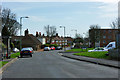
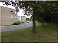
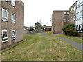
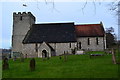
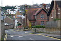
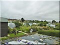
59 photos from this area
Area Information
Key information about the BN41 2PH including its size, population, and administrative classification.
- Area Type
- Postcode
- Area Size
- 1.1 hectares
- Population
- 1524
- Population Density
- 6767 people/km²
House Prices in BN41 2PH
36
Properties
£231,794
Average Sold Price
£64,500
Lowest Price
£435,000
Highest Price
Showing 36 properties
| Address | Type | Beds | Baths | Last Sale Price | Last Sale Date | |
|---|---|---|---|---|---|---|
| 18 Mile Oak Gardens, Portslade, BN41 2PH | house | 3 | 1 | £435,000 | Jun 2021 | |
| 32 Mile Oak Gardens, Portslade, BN41 2PH | Semi-detached | 3 | - | £380,000 | Jul 2019 | |
| 43 Mile Oak Gardens, Portslade, BN41 2PH | house | - | - | £333,000 | Jul 2019 | |
| 33 Mile Oak Gardens, Portslade, BN41 2PH | house | 3 | - | £320,700 | Oct 2015 | |
| 10 Mile Oak Gardens, Portslade, BN41 2PH | Semi-detached | 4 | 1 | £142,687 | Feb 2015 | |
| 45 Mile Oak Gardens, Portslade, BN41 2PH | house | 3 | - | £235,000 | Sep 2014 | |
| 9 Mile Oak Gardens, Portslade, BN41 2PH | house | 3 | - | £287,000 | May 2014 | |
| 28 Mile Oak Gardens, Portslade, BN41 2PH | Semi-detached | 3 | 2 | £282,725 | Oct 2013 | |
| 15 Mile Oak Gardens, Portslade, BN41 2PH | house | - | - | £265,500 | Jun 2013 | |
| 30 Mile Oak Gardens, Portslade, BN41 2PH | Detached | 4 | 3 | £296,000 | Aug 2011 |
Page 1 of 4
Energy Efficiency in BN41 2PH
Amenities
Schools
| Rank | School | Type | Entry gender | Ages |
|---|
Explore more schools in this area
Go to Schools tabDemographics
Household Size
Family (3-5 people)
most common
Accommodation Type
Houses
most common
Tenure
70
majority
Ethnic Group
White
most common
Religion
N/A
most common
Household Composition
N/A
most common
Age
47
median
Adults (30-64 years)
most common
Household Deprivation
N/A
with no deprivation
NS-SEC
34
in Lower managerial occupations
Explore more demographic insights in this area
Go to Demographics tabPlanning
Planning Constraints
- Flood RiskPremium
- Ramsar Wetland SitesPremium
- Area of Outstanding Natural BeautyPremium
- Protected Nature ReservePremium
- Protected WoodlandPremium