Area Overview for BN41 1SE
Photos of BN41 1SE
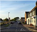
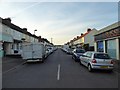
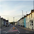
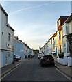
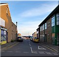

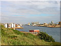
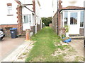
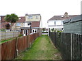
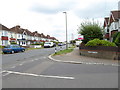
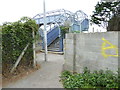
70 photos from this area
Area Information
Key information about the BN41 1SE including its size, population, and administrative classification.
- Area Type
- Postcode
- Area Size
- 3820 m²
- Population
- Not available
- Population Density
- Not available
House Prices in BN41 1SE
29
Properties
£247,216
Average Sold Price
£56,000
Lowest Price
£550,000
Highest Price
Showing 29 properties
| Address | Type | Beds | Baths | Last Sale Price | Last Sale Date | |
|---|---|---|---|---|---|---|
| 26 Bampfield Street, Portslade, BN41 1SE | house | - | - | £412,500 | Nov 2023 | |
| 18 Bampfield Street, Portslade, BN41 1SE | house | 4 | 1 | £485,000 | Sep 2022 | |
| 7 Bampfield Street, Portslade, BN41 1SE | Terraced | 5 | 2 | £550,000 | Aug 2022 | |
| 23 Bampfield Street, Portslade, BN41 1SE | Terraced | 2 | 1 | £320,000 | Oct 2019 | |
| 24 Bampfield Street, Portslade, BN41 1SE | Terraced | 3 | 1 | £298,000 | Feb 2019 | |
| 20 Bampfield Street, Portslade, BN41 1SE | house | - | - | £300,000 | Sep 2017 | |
| 21 Bampfield Street, Portslade, BN41 1SE | Terraced | 2 | 1 | £265,000 | Apr 2015 | |
| 1 Bampfield Street, Portslade, BN41 1SE | Terraced | 2 | 1 | £155,000 | Aug 2014 | |
| 4 Bampfield Street, Portslade, BN41 1SE | house | - | - | £219,950 | Nov 2009 | |
| 16 Bampfield Street, Portslade, BN41 1SE | house | - | - | £210,000 | Sep 2009 |
Page 1 of 3
Energy Efficiency in BN41 1SE
Amenities
Schools
| Rank | School | Type | Entry gender | Ages |
|---|
Explore more schools in this area
Go to Schools tabDemographics
Household Size
One person
most common
Accommodation Type
Houses
most common
Tenure
50
majority
Ethnic Group
White
most common
Religion
N/A
most common
Household Composition
N/A
most common
Age
47
median
Adults (30-64 years)
most common
Household Deprivation
N/A
with no deprivation
NS-SEC
32
in Lower managerial occupations
Explore more demographic insights in this area
Go to Demographics tabPlanning
Planning Constraints
- Flood RiskPremium
- Ramsar Wetland SitesPremium
- Area of Outstanding Natural BeautyPremium
- Protected Nature ReservePremium
- Protected WoodlandPremium