Area Overview for BN41 1DD
Photos of BN41 1DD
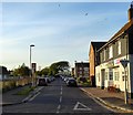
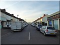
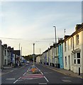
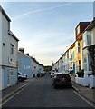


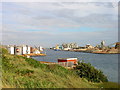
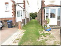
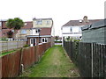
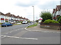
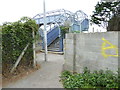
70 photos from this area
Area Information
Key information about the BN41 1DD including its size, population, and administrative classification.
- Area Type
- Postcode
- Area Size
- 5153 m²
- Population
- Not available
- Population Density
- Not available
House Prices in BN41 1DD
26
Properties
£460,292
Average Sold Price
£105,000
Lowest Price
£670,000
Highest Price
Showing 26 properties
| Address | Type | Beds | Baths | Last Sale Price | Last Sale Date | |
|---|---|---|---|---|---|---|
| 111 St Andrews Road, Portslade, BN41 1DD | Detached | 3 | 1 | £420,000 | Mar 2024 | |
| 79 St Andrews Road, Portslade, BN41 1DD | house | - | - | £670,000 | Dec 2023 | |
| 85 St Andrews Road, Portslade, BN41 1DD | Semi-detached | 3 | 2 | £545,000 | Aug 2023 | |
| 71 St Andrews Road, Portslade, BN41 1DD | Terraced | 5 | 3 | £667,500 | Mar 2023 | |
| 73 St Andrews Road, Portslade, BN41 1DD | house | 3 | 1 | £665,000 | Oct 2022 | |
| 81 St Andrews Road, Portslade, BN41 1DD | house | - | - | £625,000 | Jun 2021 | |
| 75 St Andrews Road, Portslade, BN41 1DD | house | - | - | £475,000 | Mar 2021 | |
| 83 St Andrews Road, Portslade, BN41 1DD | house | 3 | - | £557,000 | Dec 2020 | |
| 105 St Andrews Road, Portslade, BN41 1DD | house | 4 | 1 | £446,500 | Feb 2019 | |
| 87 St Andrews Road, Portslade, BN41 1DD | house | - | - | £420,000 | Jul 2018 |
Page 1 of 3
Energy Efficiency in BN41 1DD
Amenities
Schools
| Rank | School | Type | Entry gender | Ages |
|---|
Explore more schools in this area
Go to Schools tabDemographics
Household Size
Family (3-5 people)
most common
Accommodation Type
Houses
most common
Tenure
61
majority
Ethnic Group
White
most common
Religion
N/A
most common
Household Composition
N/A
most common
Age
47
median
Adults (30-64 years)
most common
Household Deprivation
N/A
with no deprivation
NS-SEC
39
in Lower managerial occupations
Explore more demographic insights in this area
Go to Demographics tabPlanning
Planning Constraints
- Flood RiskPremium
- Ramsar Wetland SitesPremium
- Area of Outstanding Natural BeautyPremium
- Protected Nature ReservePremium
- Protected WoodlandPremium