Area Overview for BN41 1DA
Photos of BN41 1DA
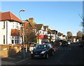
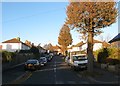
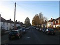
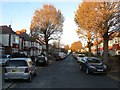
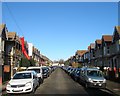
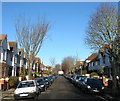
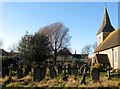
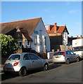
100 photos from this area
Area Information
Key information about the BN41 1DA including its size, population, and administrative classification.
- Area Type
- Postcode
- Area Size
- 5237 m²
- Population
- Not available
- Population Density
- Not available
House Prices in BN41 1DA
28
Properties
£317,615
Average Sold Price
£76,000
Lowest Price
£600,000
Highest Price
Showing 28 properties
| Address | Type | Beds | Baths | Last Sale Price | Last Sale Date | |
|---|---|---|---|---|---|---|
| 6 St Andrews Road, Portslade, BN41 1DA | Terraced | 4 | 3 | £570,000 | Jun 2023 | |
| 20 St Andrews Road, Portslade, BN41 1DA | Terraced | 3 | 1 | £600,000 | Aug 2022 | |
| 28 St Andrews Road, Portslade, BN41 1DA | house | 5 | - | £452,000 | Aug 2020 | |
| 44 St Andrews Road, Portslade, BN41 1DA | house | - | - | £442,000 | Aug 2019 | |
| 40 St Andrews Road, Portslade, BN41 1DA | house | - | - | £495,000 | Nov 2016 | |
| 22 St Andrews Road, Portslade, BN41 1DA | house | 3 | - | £290,000 | May 2011 | |
| 10 St Andrews Road, Portslade, BN41 1DA | Maisonette | 3 | 1 | £250,000 | Jan 2010 | |
| 26 St Andrews Road, Portslade, BN41 1DA | Terraced | 3 | - | £337,500 | Feb 2008 | |
| 42 St Andrews Road, Portslade, BN41 1DA | Detached | - | - | £225,000 | Nov 2005 | |
| 8 St Andrews Road, Portslade, BN41 1DA | house | - | - | £96,000 | Jul 2001 |
Page 1 of 3
Energy Efficiency in BN41 1DA
Amenities
Schools
| Rank | School | Type | Entry gender | Ages |
|---|
Explore more schools in this area
Go to Schools tabDemographics
Household Size
Family (3-5 people)
most common
Accommodation Type
Houses
most common
Tenure
61
majority
Ethnic Group
White
most common
Religion
N/A
most common
Household Composition
N/A
most common
Age
47
median
Adults (30-64 years)
most common
Household Deprivation
N/A
with no deprivation
NS-SEC
39
in Lower managerial occupations
Explore more demographic insights in this area
Go to Demographics tabPlanning
Planning Constraints
- Flood RiskPremium
- Ramsar Wetland SitesPremium
- Area of Outstanding Natural BeautyPremium
- Protected Nature ReservePremium
- Protected WoodlandPremium