Area Overview for BN3 8PH
Photos of BN3 8PH
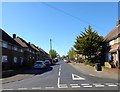
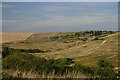
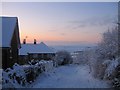
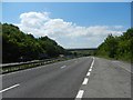
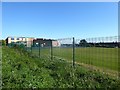
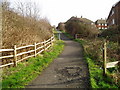
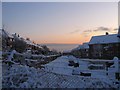
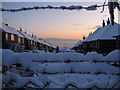
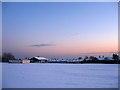
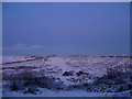
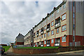
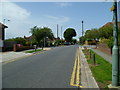
24 photos from this area
Area Information
Key information about the BN3 8PH including its size, population, and administrative classification.
- Area Type
- Postcode
- Area Size
- 1.2 hectares
- Population
- Not available
- Population Density
- Not available
House Prices in BN3 8PH
24
Properties
£306,328
Average Sold Price
£60,000
Lowest Price
£500,000
Highest Price
Showing 24 properties
| Address | Type | Beds | Baths | Last Sale Price | Last Sale Date | |
|---|---|---|---|---|---|---|
| 75 Lark Hill, Hove, BN3 8PH | Semi-detached | 2 | 1 | £372,500 | May 2025 | |
| 73 Lark Hill, Hove, BN3 8PH | Bungalow | 2 | 1 | £360,000 | May 2025 | |
| 61 Lark Hill, Hove, BN3 8PH | Bungalow | 2 | 1 | £365,000 | Nov 2023 | |
| 60 Lark Hill, Hove, BN3 8PH | Retail | 2 | 1 | £410,000 | Apr 2022 | |
| 67 Lark Hill, Hove, BN3 8PH | Semi-detached | 2 | 1 | £435,750 | Apr 2022 | |
| 59 Lark Hill, Hove, BN3 8PH | Bungalow | - | - | £500,000 | Feb 2022 | |
| 79 Lark Hill, Hove, BN3 8PH | Bungalow | 2 | - | £359,000 | May 2017 | |
| 54 Lark Hill, Hove, BN3 8PH | Bungalow | - | - | £320,000 | Apr 2017 | |
| 89 Lark Hill, Hove, BN3 8PH | house | 3 | - | £410,000 | Sep 2015 | |
| 66 Lark Hill, Hove, BN3 8PH | Semi-detached | 3 | - | £243,000 | Jun 2012 |
Page 1 of 3
Energy Efficiency in BN3 8PH
Amenities
Schools
| Rank | School | Type | Entry gender | Ages |
|---|
Explore more schools in this area
Go to Schools tabDemographics
Household Size
Family (3-5 people)
most common
Accommodation Type
Houses
most common
Tenure
57
majority
Ethnic Group
White
most common
Religion
N/A
most common
Household Composition
N/A
most common
Age
47
median
Adults (30-64 years)
most common
Household Deprivation
N/A
with no deprivation
NS-SEC
27
in Lower managerial occupations
Explore more demographic insights in this area
Go to Demographics tabPlanning
Planning Constraints
- Flood RiskPremium
- Ramsar Wetland SitesPremium
- Area of Outstanding Natural BeautyPremium
- Protected Nature ReservePremium
- Protected WoodlandPremium