Area Overview for BN3 7RE
Photos of BN3 7RE
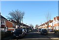
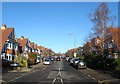
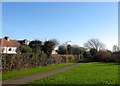
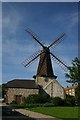
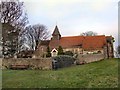
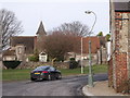
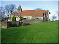
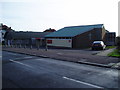
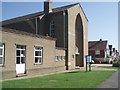
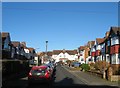
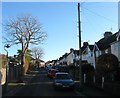
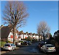
46 photos from this area
Area Information
Key information about the BN3 7RE including its size, population, and administrative classification.
- Area Type
- Postcode
- Area Size
- 5772 m²
- Population
- 1529
- Population Density
- 5682 people/km²
House Prices in BN3 7RE
17
Properties
£256,423
Average Sold Price
£68,000
Lowest Price
£456,500
Highest Price
Showing 17 properties
| Address | Type | Beds | Baths | Last Sale Price | Last Sale Date | |
|---|---|---|---|---|---|---|
| 17 Wayfield Close, Hove, BN3 7RE | Detached | 3 | 3 | £456,500 | Mar 2025 | |
| 14 Wayfield Close, Hove, BN3 7RE | house | - | - | £335,000 | Dec 2019 | |
| 9 Wayfield Close, Hove, BN3 7RE | house | - | - | £405,000 | Sep 2018 | |
| 16 Wayfield Close, Hove, BN3 7RE | house | - | - | £350,000 | Apr 2018 | |
| 5 Wayfield Close, Hove, BN3 7RE | house | 3 | - | £317,000 | Feb 2016 | |
| 8 Wayfield Close, Hove, BN3 7RE | house | 3 | 1 | £215,000 | Feb 2011 | |
| 15 Wayfield Close, Hove, BN3 7RE | house | - | - | £272,000 | Aug 2010 | |
| 1 Wayfield Close, Hove, BN3 7RE | house | - | - | £365,000 | Oct 2009 | |
| 3 Wayfield Close, Hove, BN3 7RE | Detached | - | - | £232,500 | May 2007 | |
| 6 Wayfield Close, Hove, BN3 7RE | house | - | - | £129,000 | Jan 2004 |
Page 1 of 2
Energy Efficiency in BN3 7RE
Amenities
Schools
| Rank | School | Type | Entry gender | Ages |
|---|
Explore more schools in this area
Go to Schools tabDemographics
Household Size
Family (3-5 people)
most common
Accommodation Type
Houses
most common
Tenure
86
majority
Ethnic Group
White
most common
Religion
N/A
most common
Household Composition
N/A
most common
Age
47
median
Adults (30-64 years)
most common
Household Deprivation
N/A
with no deprivation
NS-SEC
42
in Lower managerial occupations
Explore more demographic insights in this area
Go to Demographics tabPlanning
Planning Constraints
- Flood RiskPremium
- Ramsar Wetland SitesPremium
- Area of Outstanding Natural BeautyPremium
- Protected Nature ReservePremium
- Protected WoodlandPremium