Area Overview for BN3 7GS
Photos of BN3 7GS
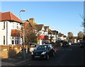
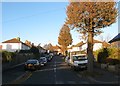
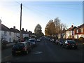
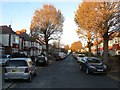
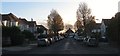
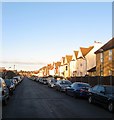
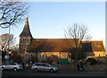
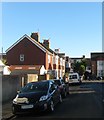
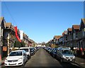
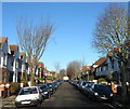
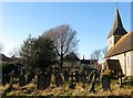
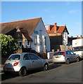
100 photos from this area
Area Information
Key information about the BN3 7GS including its size, population, and administrative classification.
- Area Type
- Postcode
- Area Size
- 1.8 hectares
- Population
- Not available
- Population Density
- Not available
House Prices in BN3 7GS
30
Properties
£239,611
Average Sold Price
£109,000
Lowest Price
£390,000
Highest Price
Showing 30 properties
| Address | Type | Beds | Baths | Last Sale Price | Last Sale Date | |
|---|---|---|---|---|---|---|
| 323 Old Shoreham Road, Hove, BN3 7GS | Terraced | 3 | 1 | £390,000 | May 2024 | |
| 341 Old Shoreham Road, Hove, BN3 7GS | house | - | - | £200,000 | Nov 2022 | |
| 339 Old Shoreham Road, Hove, BN3 7GS | house | - | - | £327,500 | Aug 2021 | |
| 337 Old Shoreham Road, Hove, BN3 7GS | house | - | - | £350,000 | Jun 2021 | |
| 311 Old Shoreham Road, Hove, BN3 7GS | Terraced | 3 | 1 | £280,000 | Jan 2020 | |
| 343 Old Shoreham Road, Hove, BN3 7GS | house | - | - | £215,000 | Sep 2009 | |
| 319 Old Shoreham Road, Hove, BN3 7GS | Terraced | 3 | 1 | £162,000 | Oct 2006 | |
| 317 Old Shoreham Road, Hove, BN3 7GS | Detached | - | - | £123,000 | Jul 2005 | |
| 321 Old Shoreham Road, Hove, BN3 7GS | house | - | - | £109,000 | Feb 2002 | |
| 315 Old Shoreham Road, Hove, BN3 7GS | house | 3 | 1 | - | - |
Page 1 of 3
Energy Efficiency in BN3 7GS
Amenities
Schools
| Rank | School | Type | Entry gender | Ages |
|---|
Explore more schools in this area
Go to Schools tabDemographics
Household Size
Family (3-5 people)
most common
Accommodation Type
Houses
most common
Tenure
52
majority
Ethnic Group
White
most common
Religion
N/A
most common
Household Composition
N/A
most common
Age
47
median
Adults (30-64 years)
most common
Household Deprivation
N/A
with no deprivation
NS-SEC
31
in Lower managerial occupations
Explore more demographic insights in this area
Go to Demographics tabPlanning
Planning Constraints
- Flood RiskPremium
- Ramsar Wetland SitesPremium
- Area of Outstanding Natural BeautyPremium
- Protected Nature ReservePremium
- Protected WoodlandPremium