Area Overview for BN3 6PP
Photos of BN3 6PP
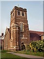
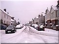
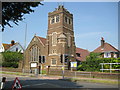
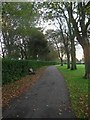
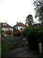
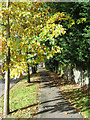
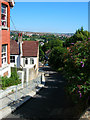
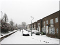
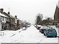
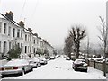
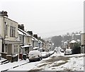
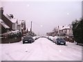
100 photos from this area
Area Information
Key information about the BN3 6PP including its size, population, and administrative classification.
- Area Type
- Postcode
- Area Size
- 6299 m²
- Population
- Not available
- Population Density
- Not available
House Prices in BN3 6PP
12
Properties
£984,583
Average Sold Price
£625,000
Lowest Price
£1,540,000
Highest Price
Showing 12 properties
| Address | Type | Beds | Baths | Last Sale Price | Last Sale Date | |
|---|---|---|---|---|---|---|
| 58 The Droveway, Hove, BN3 6PP | Retail | 5 | 3 | £1,540,000 | Apr 2022 | |
| 52 The Droveway, Hove, BN3 6PP | house | - | - | £1,020,000 | Jan 2017 | |
| 50 The Droveway, Hove, BN3 6PP | house | - | - | £1,215,000 | Sep 2016 | |
| 56 The Droveway, Hove, BN3 6PP | Detached | 5 | 3 | £712,500 | May 2011 | |
| 45 The Droveway, Hove, BN3 6PP | Detached | 4 | 2 | £795,000 | Jul 2010 | |
| 48 The Droveway, Hove, BN3 6PP | house | - | - | £625,000 | Jun 2005 | |
| 45A The Droveway, Hove, BN3 6PP | Detached | 2 | 2 | - | - | |
| Flat 8, 43 The Droveway, Hove, BN3 6PP | Flat | 2 | 2 | - | - | |
| Flat 9, 43 The Droveway, Hove, BN3 6PP | Flat | 2 | 2 | - | - | |
| 54 The Droveway, Hove, BN3 6PP | Detached | - | - | - | - |
Page 1 of 2
Energy Efficiency in BN3 6PP
Amenities
Schools
| Rank | School | Type | Entry gender | Ages |
|---|
Explore more schools in this area
Go to Schools tabDemographics
Household Size
Family (3-5 people)
most common
Accommodation Type
Houses
most common
Tenure
82
majority
Ethnic Group
White
most common
Religion
N/A
most common
Household Composition
N/A
most common
Age
47
median
Adults (30-64 years)
most common
Household Deprivation
N/A
with no deprivation
NS-SEC
54
in Lower managerial occupations
Explore more demographic insights in this area
Go to Demographics tabPlanning
Planning Constraints
- Flood RiskPremium
- Ramsar Wetland SitesPremium
- Area of Outstanding Natural BeautyPremium
- Protected Nature ReservePremium
- Protected WoodlandPremium