Area Overview for BN3 4GP
Photos of BN3 4GP
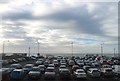
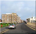
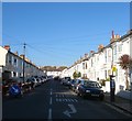
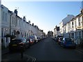
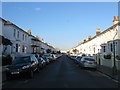


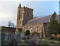
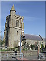
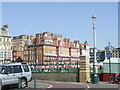
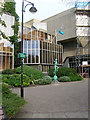
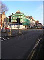
100 photos from this area
Area Information
Key information about the BN3 4GP including its size, population, and administrative classification.
- Area Type
- Postcode
- Area Size
- 7.1 hectares
- Population
- Not available
- Population Density
- Not available
House Prices in BN3 4GP
5
Properties
-
Average Sold Price
-
Lowest Price
-
Highest Price
Showing 5 properties
| Address | Type | Beds | Baths | Last Sale Price | Last Sale Date | |
|---|---|---|---|---|---|---|
| Tennis Courts, Kingsway, Hove, BN3 4GP | Leisure | - | - | - | - | |
| Petanque Terrain, Kings Road Arches, Brighton, BN3 4GP | Leisure | - | - | - | - | |
| Hove And Kingsway Bowls Clubhouse, Outdoor Sports Hub, Kingsway, Hove, BN3 4GP | Leisure | - | - | - | - | |
| Unit 1 Outdoor Sports Hub, Kingsway, Hove, BN3 4GP | Restaurant | - | - | - | - | |
| Croquet Club, 140 Kingsway, Hove, BN3 4GP | Leisure | - | - | - | - |
Energy Efficiency in BN3 4GP
Amenities
Schools
| Rank | School | Type | Entry gender | Ages |
|---|
Explore more schools in this area
Go to Schools tabDemographics
Household Size
One person
most common
Accommodation Type
Flats
most common
Tenure
51
majority
Ethnic Group
White
most common
Religion
N/A
most common
Household Composition
N/A
most common
Age
47
median
Adults (30-64 years)
most common
Household Deprivation
N/A
with no deprivation
NS-SEC
45
in Lower managerial occupations
Explore more demographic insights in this area
Go to Demographics tabPlanning
Planning Constraints
- Flood RiskPremium
- Ramsar Wetland SitesPremium
- Area of Outstanding Natural BeautyPremium
- Protected Nature ReservePremium
- Protected WoodlandPremium