Area Overview for BN3 4EE
Photos of BN3 4EE
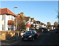
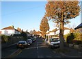
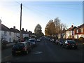
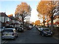
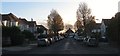
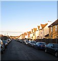
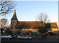
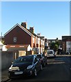
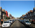
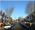
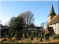
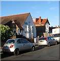
100 photos from this area
Area Information
Key information about the BN3 4EE including its size, population, and administrative classification.
- Area Type
- Postcode
- Area Size
- 6951 m²
- Population
- 1723
- Population Density
- 11418 people/km²
House Prices in BN3 4EE
55
Properties
£412,036
Average Sold Price
£49,000
Lowest Price
£957,000
Highest Price
Showing 55 properties
| Address | Type | Beds | Baths | Last Sale Price | Last Sale Date | |
|---|---|---|---|---|---|---|
| 237 New Church Road, Hove, BN3 4EE | Semi-detached | 5 | 2 | £957,000 | Jan 2022 | |
| 257B New Church Road, Hove, BN3 4EE | Flat | 1 | 4 | £737,000 | Feb 2019 | |
| Former, 235A New Church Road, Hove, BN3 4EE | Detached | 4 | 1 | £500,000 | Oct 2013 | |
| 235 New Church Road, Hove, BN3 4EE | Semi-detached | 4 | 1 | £483,000 | Oct 2007 | |
| 255 New Church Road, Hove, BN3 4EE | Flat | 4 | - | £66,250 | Dec 2006 | |
| 251A New Church Road, Hove, BN3 4EE | Flat | - | - | £92,000 | Dec 1999 | |
| 249A New Church Road, Hove, BN3 4EE | Flat | - | - | £49,000 | Sep 1996 | |
| Flat 4, 243 New Church Road, Hove, BN3 4EE | Flat | 1 | 1 | - | - | |
| 233C New Church Road, Hove, BN3 4EE | Flat | 3 | 2 | - | - | |
| Flat 3, 253 New Church Road, Hove, BN3 4EE | Flat | 3 | 1 | - | - |
Page 1 of 6
Energy Efficiency in BN3 4EE
Amenities
Schools
| Rank | School | Type | Entry gender | Ages |
|---|
Explore more schools in this area
Go to Schools tabDemographics
Household Size
Family (3-5 people)
most common
Accommodation Type
Houses
most common
Tenure
56
majority
Ethnic Group
White
most common
Religion
N/A
most common
Household Composition
N/A
most common
Age
47
median
Adults (30-64 years)
most common
Household Deprivation
N/A
with no deprivation
NS-SEC
40
in Lower managerial occupations
Explore more demographic insights in this area
Go to Demographics tabPlanning
Planning Constraints
- Flood RiskPremium
- Ramsar Wetland SitesPremium
- Area of Outstanding Natural BeautyPremium
- Protected Nature ReservePremium
- Protected WoodlandPremium