Area Overview for BN3 4DD
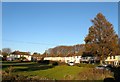
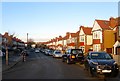
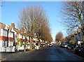
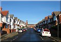
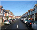
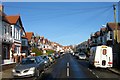
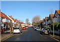
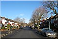
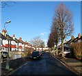
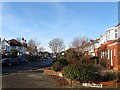
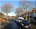
Photos of BN3 4DD

Area Information
Living in BN3 4DD means being part of a small, tightly knit residential cluster in England, where the population of 1,766 reflects a quiet, stable community. This postcode sits within the broader Hove and Portslade area, known for its coastal charm and proximity to Brighton’s vibrant city centre. The area is characterised by its low population density, which contributes to a more private, less congested lifestyle. While it is not a sprawling suburb, BN3 4DD offers a balance between suburban comfort and easy access to nearby urban amenities. The demographic profile suggests a mature population, with a median age of 47 and a majority of residents aged 30–64. This suggests a community rooted in long-term residency, with many properties likely to be owner-occupied. Daily life here is shaped by the surrounding infrastructure, including nearby rail links and retail hubs, making it practical for commuters and families alike. The area’s small size means it is not a place for sprawling development, but rather a focused, manageable neighbourhood with a distinct local identity.
- Area Type
- Postcode
- Area Size
- Not available
- Population
- 1766
- Population Density
- 3915 people/km²
The property market in BN3 4DD is dominated by owner-occupied homes, with 77% of properties held by their owners. This high rate of home ownership points to a community where residents are likely to have built equity and long-term plans for their residences. The accommodation type is primarily houses, which suggests a preference for larger, more private properties compared to flats or apartments. This aligns with the area’s residential cluster model, where development is compact and focused on individual homes rather than high-density housing. For buyers, this means a market that is less influenced by rental demand and more by the appeal of private, family-friendly living. The small size of the area means that properties are likely to be in close proximity to each other, creating a cohesive neighbourhood with shared local amenities. However, the limited data on property types or price ranges means buyers should consider the area’s constraints and focus on the intrinsic value of the homes themselves.
House Prices in BN3 4DD
No properties found in this postcode.
Energy Efficiency in BN3 4DD
Residents of BN3 4DD have access to a range of nearby amenities that support daily life. Retail options include The Southern Co-operative Co, M&S Hove BP, and Iceland Portslade, offering a mix of essential shopping and convenience stores. The area’s rail network, with stations like Portslade and Fishersgate, provides direct links to Brighton and beyond, making commuting efficient. Nearby airports, such as Shoreham Brighton City Airport, add to the area’s accessibility for those who travel frequently. While the data does not mention parks or leisure facilities, the proximity to Hove and Portslade suggests access to green spaces and recreational opportunities. The presence of these amenities contributes to a lifestyle that balances practicality with convenience, ensuring residents can meet their needs without long commutes. The small scale of BN3 4DD means these amenities are likely to be within walking or short driving distance, enhancing the area’s appeal for families and professionals alike.
Amenities
Schools
| Rank | School | Type | Entry gender | Ages |
|---|
Explore more schools in this area
Go to Schools tabDemographics
The community in BN3 4DD is predominantly composed of adults aged 30–64, with a median age of 47. This indicates a mature, established population, likely with long-term ties to the area. Home ownership is high, with 77% of properties owner-occupied, suggesting a stable housing market and a community of residents who have invested in their homes. The accommodation type is primarily houses, which aligns with the area’s residential character and the preference for private, detached living. The predominant ethnic group is White, reflecting the broader demographic trends in the South East of England. While specific data on deprivation is not provided, the high home ownership rate and low crime risk suggest a relatively affluent and secure environment. The absence of significant demographic diversity data means the area’s social fabric is largely defined by its core population groups. For buyers, this profile implies a neighbourhood with a strong sense of continuity and a focus on long-term residency over transient rental markets.
Household Size
Accommodation Type
Tenure
Ethnic Group
Religion
Household Composition
Age
Household Deprivation
NS-SEC
Explore more demographic insights in this area
Go to Demographics tabPlanning
Planning Constraints
- Flood RiskPremium
- Ramsar Wetland SitesPremium
- Area of Outstanding Natural BeautyPremium
- Protected Nature ReservePremium
- Protected WoodlandPremium