Area Overview for BN27 3TH
Photos of BN27 3TH
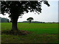
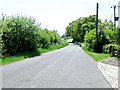
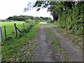
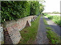
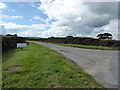
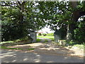
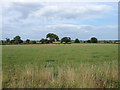
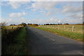
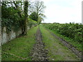
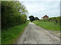
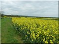
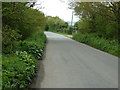
28 photos from this area
Area Information
Key information about the BN27 3TH including its size, population, and administrative classification.
- Area Type
- Postcode
- Area Size
- 31.1 hectares
- Population
- 1120
- Population Density
- 63 people/km²
House Prices in BN27 3TH
7
Properties
£577,500
Average Sold Price
£390,000
Lowest Price
£765,000
Highest Price
Showing 7 properties
| Address | Type | Beds | Baths | Last Sale Price | Last Sale Date | |
|---|---|---|---|---|---|---|
| Meadow View Farm, Poundfield Road, Chalvington, BN27 3TH | Bungalow | - | - | £765,000 | Aug 2021 | |
| Blackberry Farm, Poundfield Road, Chalvington, BN27 3TH | Bungalow | - | - | £390,000 | Nov 2000 | |
| Sand Pit Mobile Home, Poundfield Road, Chalvington, BN27 3TH | Mobile Home | - | - | - | - | |
| The Annexe, Blackberry Farm, Poundfield Road, Chalvington, BN27 3TH | Flat | - | - | - | - | |
| Meadow Cottage, Poundfield Road, Chalvington, BN27 3TH | house | - | - | - | - | |
| Poundfield Farm, Poundfield Road, Chalvington, BN27 3TH | Detached | - | - | - | - | |
| Willows, Poundfield Road, Chalvington, BN27 3TH | house | - | - | - | - |
Energy Efficiency in BN27 3TH
Amenities
Schools
| Rank | School | Type | Entry gender | Ages |
|---|
Explore more schools in this area
Go to Schools tabDemographics
Household Size
Two person
most common
Accommodation Type
Houses
most common
Tenure
90
majority
Ethnic Group
White
most common
Religion
N/A
most common
Household Composition
N/A
most common
Age
70
median
Elderly (65+ years)
most common
Household Deprivation
N/A
with no deprivation
NS-SEC
37
in Lower managerial occupations
Explore more demographic insights in this area
Go to Demographics tabPlanning
Planning Constraints
- Flood RiskPremium
- Ramsar Wetland SitesPremium
- Area of Outstanding Natural BeautyPremium
- Protected Nature ReservePremium
- Protected WoodlandPremium