Area Overview for BN27 3FY
Photos of BN27 3FY
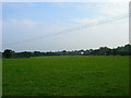
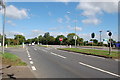
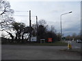
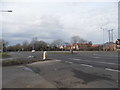
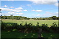
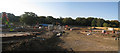
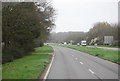
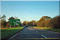
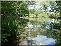
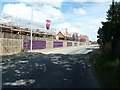
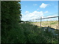
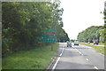
15 photos from this area
Area Information
Key information about the BN27 3FY including its size, population, and administrative classification.
- Area Type
- Postcode
- Area Size
- 9189 m²
- Population
- Not available
- Population Density
- Not available
House Prices in BN27 3FY
29
Properties
£303,333
Average Sold Price
£235,000
Lowest Price
£425,000
Highest Price
Showing 29 properties
| Address | Type | Beds | Baths | Last Sale Price | Last Sale Date | |
|---|---|---|---|---|---|---|
| 48 Brunel Drive, Hailsham, BN27 3FY | Semi-detached | 4 | 2 | £380,000 | Feb 2025 | |
| 34 Brunel Drive, Hailsham, BN27 3FY | Semi-detached | 4 | 2 | £425,000 | May 2022 | |
| 56 Brunel Drive, Hailsham, BN27 3FY | Detached | 4 | - | £340,000 | Jun 2017 | |
| 44 Brunel Drive, Hailsham, BN27 3FY | house | - | - | £310,000 | May 2017 | |
| 38 Brunel Drive, Hailsham, BN27 3FY | house | - | - | £285,000 | May 2016 | |
| 42 Brunel Drive, Hailsham, BN27 3FY | Terraced | 4 | 2 | £250,000 | May 2016 | |
| 40 Brunel Drive, Hailsham, BN27 3FY | house | - | - | £290,000 | May 2016 | |
| 36 Brunel Drive, Hailsham, BN27 3FY | house | - | - | £255,000 | Apr 2016 | |
| 54 Brunel Drive, Hailsham, BN27 3FY | Terraced | 3 | 2 | £245,000 | Apr 2015 | |
| 52 Brunel Drive, Hailsham, BN27 3FY | house | - | - | £235,000 | Apr 2015 |
Page 1 of 3
Energy Efficiency in BN27 3FY
Amenities
Schools
| Rank | School | Type | Entry gender | Ages |
|---|
Explore more schools in this area
Go to Schools tabDemographics
Household Size
Two person
most common
Accommodation Type
Houses
most common
Tenure
84
majority
Ethnic Group
White
most common
Religion
N/A
most common
Household Composition
N/A
most common
Age
47
median
Adults (30-64 years)
most common
Household Deprivation
N/A
with no deprivation
NS-SEC
29
in Lower managerial occupations
Explore more demographic insights in this area
Go to Demographics tabPlanning
Planning Constraints
- Flood RiskPremium
- Ramsar Wetland SitesPremium
- Area of Outstanding Natural BeautyPremium
- Protected Nature ReservePremium
- Protected WoodlandPremium