Area Overview for BN26 5UX
Photos of BN26 5UX
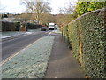
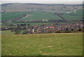
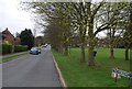
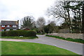
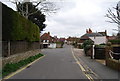
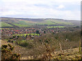
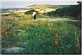
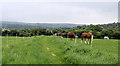
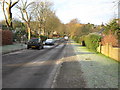
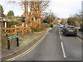
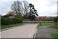
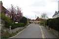
100 photos from this area
Area Information
Key information about the BN26 5UX including its size, population, and administrative classification.
- Area Type
- Postcode
- Area Size
- 1.2 hectares
- Population
- 1184
- Population Density
- 55 people/km²
House Prices in BN26 5UX
22
Properties
£488,811
Average Sold Price
£175,000
Lowest Price
£801,352
Highest Price
Showing 22 properties
| Address | Type | Beds | Baths | Last Sale Price | Last Sale Date | |
|---|---|---|---|---|---|---|
| 7 West Street, Alfriston, BN26 5UX | Retail | 2 | - | £450,000 | Sep 2024 | |
| Ticehurst, West Street, Alfriston, BN26 5UX | house | - | - | £775,000 | Sep 2021 | |
| The Barn, West Street, Alfriston, BN26 5UX | Bungalow | - | - | £550,000 | Mar 2021 | |
| Orchard House, West Street, Alfriston, BN26 5UX | Detached | 4 | 4 | £700,000 | Jul 2019 | |
| Tilings, West Street, Alfriston, BN26 5UX | Bungalow | 2 | 1 | £525,000 | Nov 2016 | |
| 6 West Street, Alfriston, BN26 5UX | house | 2 | - | £425,000 | Sep 2015 | |
| Blacksmiths Lodge, West Street, Alfriston, BN26 5UX | Bungalow | - | - | £685,000 | Jul 2015 | |
| 1, Forge Cottages, West Street, Alfriston, BN26 5UX | Terraced | 3 | 2 | £420,000 | May 2013 | |
| Todhurst, West Street, Alfriston, BN26 5UX | Detached | - | - | £801,352 | May 2013 | |
| Cygnets, West Street, Alfriston, BN26 5UX | Bungalow | - | - | £405,000 | Nov 2005 |
Page 1 of 3
Energy Efficiency in BN26 5UX
Amenities
Schools
| Rank | School | Type | Entry gender | Ages |
|---|
Explore more schools in this area
Go to Schools tabDemographics
Household Size
Two person
most common
Accommodation Type
Houses
most common
Tenure
73
majority
Ethnic Group
White
most common
Religion
N/A
most common
Household Composition
N/A
most common
Age
47
median
Adults (30-64 years)
most common
Household Deprivation
N/A
with no deprivation
NS-SEC
46
in Lower managerial occupations
Explore more demographic insights in this area
Go to Demographics tabPlanning
Planning Constraints
- Flood RiskPremium
- Ramsar Wetland SitesPremium
- Area of Outstanding Natural BeautyPremium
- Protected Nature ReservePremium
- Protected WoodlandPremium