Area Overview for BN25 3JW
Photos of BN25 3JW
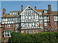
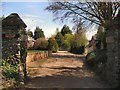
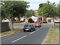
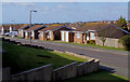
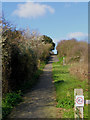
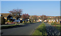
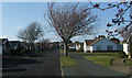
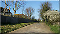
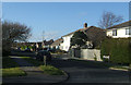
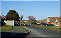
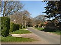
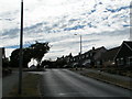
41 photos from this area
Area Information
Key information about the BN25 3JW including its size, population, and administrative classification.
- Area Type
- Postcode
- Area Size
- 4.8 hectares
- Population
- 1834
- Population Density
- 820 people/km²
House Prices in BN25 3JW
60
Properties
£320,619
Average Sold Price
£91,000
Lowest Price
£500,000
Highest Price
Showing 60 properties
| Address | Type | Beds | Baths | Last Sale Price | Last Sale Date | |
|---|---|---|---|---|---|---|
| 115 North Way, Seaford, BN25 3JW | Bungalow | - | - | £423,750 | Jun 2025 | |
| 135 North Way, Seaford, BN25 3JW | Bungalow | 2 | 2 | £415,000 | Mar 2025 | |
| 114 North Way, Seaford, BN25 3JW | Bungalow | - | - | £410,000 | Nov 2024 | |
| 113 North Way, Seaford, BN25 3JW | Bungalow | 3 | 2 | £467,500 | Nov 2024 | |
| 124 North Way, Seaford, BN25 3JW | Bungalow | 2 | 2 | £447,000 | May 2023 | |
| 117 North Way, Seaford, BN25 3JW | Bungalow | 2 | 1 | £475,000 | Nov 2022 | |
| 83 North Way, Seaford, BN25 3JW | house | - | - | £500,000 | Sep 2022 | |
| 126 North Way, Seaford, BN25 3JW | Retail | 3 | 1 | £434,000 | Apr 2022 | |
| 99 North Way, Seaford, BN25 3JW | house | - | - | £410,000 | Apr 2021 | |
| 108 North Way, Seaford, BN25 3JW | Bungalow | 2 | 1 | £421,000 | Mar 2021 |
Page 1 of 6
Energy Efficiency in BN25 3JW
Amenities
Schools
| Rank | School | Type | Entry gender | Ages |
|---|
Explore more schools in this area
Go to Schools tabDemographics
Household Size
Two person
most common
Accommodation Type
Houses
most common
Tenure
85
majority
Ethnic Group
White
most common
Religion
N/A
most common
Household Composition
N/A
most common
Age
47
median
Adults (30-64 years)
most common
Household Deprivation
N/A
with no deprivation
NS-SEC
35
in Lower managerial occupations
Explore more demographic insights in this area
Go to Demographics tabPlanning
Planning Constraints
- Flood RiskPremium
- Ramsar Wetland SitesPremium
- Area of Outstanding Natural BeautyPremium
- Protected Nature ReservePremium
- Protected WoodlandPremium