Area Overview for BN25 2LX
Photos of BN25 2LX
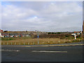
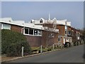
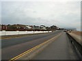
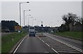
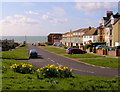
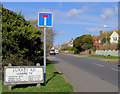

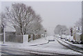
99 photos from this area
Area Information
Key information about the BN25 2LX including its size, population, and administrative classification.
- Area Type
- Postcode
- Area Size
- 1.8 hectares
- Population
- 1290
- Population Density
- 603 people/km²
House Prices in BN25 2LX
26
Properties
£289,386
Average Sold Price
£84,000
Lowest Price
£505,000
Highest Price
Showing 26 properties
| Address | Type | Beds | Baths | Last Sale Price | Last Sale Date | |
|---|---|---|---|---|---|---|
| 26 Tudor Close, Seaford, BN25 2LX | Detached | 3 | 2 | £485,000 | Oct 2024 | |
| 29 Tudor Close, Seaford, BN25 2LX | Bungalow | - | - | £370,000 | Jun 2021 | |
| 35 Tudor Close, Seaford, BN25 2LX | Bungalow | - | - | £369,000 | Dec 2019 | |
| 32 Tudor Close, Seaford, BN25 2LX | Bungalow | 3 | 2 | £460,000 | Jul 2019 | |
| 36 Tudor Close, Seaford, BN25 2LX | house | - | - | £410,000 | Jul 2019 | |
| 51 Tudor Close, Seaford, BN25 2LX | house | - | - | £505,000 | Aug 2015 | |
| 49 Tudor Close, Seaford, BN25 2LX | house | - | - | £324,000 | May 2015 | |
| 37 Tudor Close, Seaford, BN25 2LX | house | - | - | £345,000 | Mar 2015 | |
| 28 Tudor Close, Seaford, BN25 2LX | Chalet | 4 | 2 | £320,000 | Jul 2014 | |
| 42 Tudor Close, Seaford, BN25 2LX | house | - | - | £305,000 | Jul 2014 |
Page 1 of 3
Energy Efficiency in BN25 2LX
Amenities
Schools
| Rank | School | Type | Entry gender | Ages |
|---|
Explore more schools in this area
Go to Schools tabDemographics
Household Size
Two person
most common
Accommodation Type
Houses
most common
Tenure
93
majority
Ethnic Group
White
most common
Religion
N/A
most common
Household Composition
N/A
most common
Age
47
median
Adults (30-64 years)
most common
Household Deprivation
N/A
with no deprivation
NS-SEC
43
in Lower managerial occupations
Explore more demographic insights in this area
Go to Demographics tabPlanning
Planning Constraints
- Flood RiskPremium
- Ramsar Wetland SitesPremium
- Area of Outstanding Natural BeautyPremium
- Protected Nature ReservePremium
- Protected WoodlandPremium