Area Overview for BN24 6NG
Photos of BN24 6NG
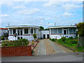
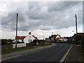
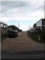
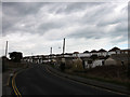
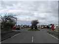
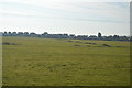
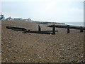
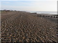
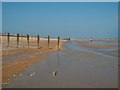
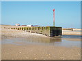
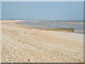
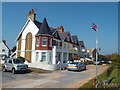
76 photos from this area
Area Information
Key information about the BN24 6NG including its size, population, and administrative classification.
- Area Type
- Postcode
- Area Size
- 6.1 hectares
- Population
- 1388
- Population Density
- 1126 people/km²
House Prices in BN24 6NG
14
Properties
£362,692
Average Sold Price
£139,000
Lowest Price
£600,000
Highest Price
Showing 14 properties
| Address | Type | Beds | Baths | Last Sale Price | Last Sale Date | |
|---|---|---|---|---|---|---|
| Le Chalet, Cobald Road, Pevensey Bay, BN24 6NG | Bungalow | 2 | 1 | £327,500 | Jul 2025 | |
| Elmar Cottage, Cobald Road, Pevensey Bay, BN24 6NG | house | - | - | £327,000 | Jun 2020 | |
| BEACH CROFT, COBALD ROAD, Pevensey Bay, BN24 6NG | Semi-detached | - | - | £475,000 | Jul 2016 | |
| Sea Spray, Cobald Road, Pevensey Bay, BN24 6NG | Detached | 3 | 2 | £460,000 | Dec 2015 | |
| Quarter Deck, Cobald Road, Pevensey Bay, BN24 6NG | house | - | - | £600,000 | Nov 2015 | |
| Emlyn Cottage, Cobald Road, Pevensey Bay, BN24 6NG | Bungalow | 2 | - | £380,000 | Oct 2015 | |
| Trincomalee, Cobald Road, Pevensey Bay, BN24 6NG | Detached | - | - | £348,800 | May 2012 | |
| Beach House, Cobald Road, Pevensey Bay, BN24 6NG | house | - | - | £475,000 | Oct 2011 | |
| Allonby, Cobald Road, Pevensey Bay, BN24 6NG | Bungalow | - | - | £420,000 | Sep 2009 | |
| Coast Cottage, Cobald Road, Pevensey Bay, BN24 6NG | Semi-detached | 4 | 2 | £230,000 | Apr 2007 |
Page 1 of 2
Energy Efficiency in BN24 6NG
Amenities
Schools
| Rank | School | Type | Entry gender | Ages |
|---|
Explore more schools in this area
Go to Schools tabDemographics
Household Size
Two person
most common
Accommodation Type
Houses
most common
Tenure
85
majority
Ethnic Group
White
most common
Religion
N/A
most common
Household Composition
N/A
most common
Age
47
median
Adults (30-64 years)
most common
Household Deprivation
N/A
with no deprivation
NS-SEC
27
in Lower managerial occupations
Explore more demographic insights in this area
Go to Demographics tabPlanning
Planning Constraints
- Flood RiskPremium
- Ramsar Wetland SitesPremium
- Area of Outstanding Natural BeautyPremium
- Protected Nature ReservePremium
- Protected WoodlandPremium