Area Overview for BN24 5NL
Photos of BN24 5NL
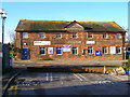
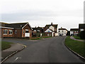
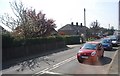
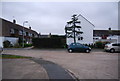
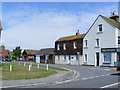
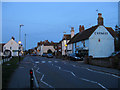
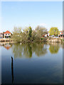
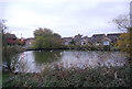
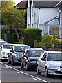
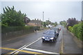
69 photos from this area
Area Information
Key information about the BN24 5NL including its size, population, and administrative classification.
- Area Type
- Postcode
- Area Size
- 15.4 hectares
- Population
- 1532
- Population Density
- 80 people/km²
House Prices in BN24 5NL
35
Properties
£180,555
Average Sold Price
£43,650
Lowest Price
£380,000
Highest Price
Showing 35 properties
| Address | Type | Beds | Baths | Last Sale Price | Last Sale Date | |
|---|---|---|---|---|---|---|
| 20 Pelham Close, Westham, BN24 5NL | Detached | 3 | 1 | £380,000 | Oct 2025 | |
| 24 Pelham Close, Westham, BN24 5NL | Semi-detached | 3 | 1 | £335,000 | Jul 2025 | |
| 17 Pelham Close, Westham, BN24 5NL | Flat | - | - | £210,000 | Jan 2023 | |
| 14 Pelham Close, Westham, BN24 5NL | Parking | - | - | £267,000 | Jul 2018 | |
| 25 Pelham Close, Westham, BN24 5NL | house | - | - | £270,000 | Jul 2018 | |
| 30 Pelham Close, Westham, BN24 5NL | Semi-detached | 3 | 1 | £250,000 | Dec 2016 | |
| 8 Pelham Close, Westham, BN24 5NL | house | - | - | £200,000 | May 2013 | |
| 1 Pelham Close, Westham, BN24 5NL | Semi-detached | - | - | £209,950 | Oct 2012 | |
| 15 Pelham Close, Westham, BN24 5NL | Semi-detached | - | - | £202,500 | Aug 2012 | |
| 18 Pelham Close, Westham, BN24 5NL | Semi-detached | 3 | - | £210,000 | Nov 2010 |
Page 1 of 4
Energy Efficiency in BN24 5NL
Amenities
Schools
| Rank | School | Type | Entry gender | Ages |
|---|
Explore more schools in this area
Go to Schools tabDemographics
Household Size
Two person
most common
Accommodation Type
Houses
most common
Tenure
76
majority
Ethnic Group
White
most common
Religion
N/A
most common
Household Composition
N/A
most common
Age
47
median
Adults (30-64 years)
most common
Household Deprivation
N/A
with no deprivation
NS-SEC
31
in Lower managerial occupations
Explore more demographic insights in this area
Go to Demographics tabPlanning
Planning Constraints
- Flood RiskPremium
- Ramsar Wetland SitesPremium
- Area of Outstanding Natural BeautyPremium
- Protected Nature ReservePremium
- Protected WoodlandPremium