Area Overview for BN22 8UE
Photos of BN22 8UE
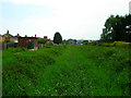
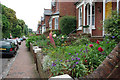

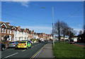
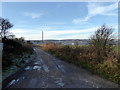
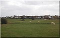
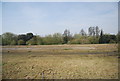
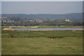

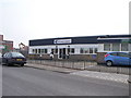
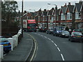
32 photos from this area
Area Information
Key information about the BN22 8UE including its size, population, and administrative classification.
- Area Type
- Postcode
- Area Size
- 1.3 hectares
- Population
- 1756
- Population Density
- 4528 people/km²
House Prices in BN22 8UE
20
Properties
£206,796
Average Sold Price
£67,950
Lowest Price
£325,000
Highest Price
Showing 20 properties
| Address | Type | Beds | Baths | Last Sale Price | Last Sale Date | |
|---|---|---|---|---|---|---|
| 15 Moy Avenue, Eastbourne, BN22 8UE | Semi-detached | 3 | - | £325,000 | Jan 2017 | |
| 11 Moy Avenue, Eastbourne, BN22 8UE | house | - | - | £320,000 | Oct 2016 | |
| Ashdown, 21 Moy Avenue, Eastbourne, BN22 8UE | house | - | - | £300,000 | Aug 2015 | |
| Nostra Domus, 17 Moy Avenue, Eastbourne, BN22 8UE | Semi-detached | 3 | 1 | £244,995 | May 2014 | |
| 43 Moy Avenue, Eastbourne, BN22 8UE | Semi-detached | 3 | 1 | £220,251 | Mar 2014 | |
| 7 Moy Avenue, Eastbourne, BN22 8UE | house | 4 | - | £215,000 | Mar 2012 | |
| 41 Moy Avenue, Eastbourne, BN22 8UE | house | 3 | - | £209,000 | Jul 2011 | |
| 23 Moy Avenue, Eastbourne, BN22 8UE | house | - | - | £239,950 | Nov 2009 | |
| Westdene, 39 Moy Avenue, Eastbourne, BN22 8UE | Terraced | - | - | £244,000 | Jul 2007 | |
| 33 Moy Avenue, Eastbourne, BN22 8UE | Terraced | - | - | £172,000 | Nov 2004 |
Page 1 of 2
Energy Efficiency in BN22 8UE
Amenities
Schools
| Rank | School | Type | Entry gender | Ages |
|---|
Explore more schools in this area
Go to Schools tabDemographics
Household Size
Family (3-5 people)
most common
Accommodation Type
Houses
most common
Tenure
83
majority
Ethnic Group
White
most common
Religion
N/A
most common
Household Composition
N/A
most common
Age
47
median
Adults (30-64 years)
most common
Household Deprivation
N/A
with no deprivation
NS-SEC
36
in Lower managerial occupations
Explore more demographic insights in this area
Go to Demographics tabPlanning
Planning Constraints
- Flood RiskPremium
- Ramsar Wetland SitesPremium
- Area of Outstanding Natural BeautyPremium
- Protected Nature ReservePremium
- Protected WoodlandPremium