Area Overview for BN21 2LQ
Photos of BN21 2LQ
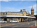
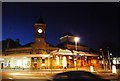
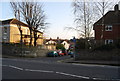
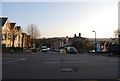
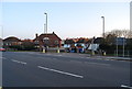
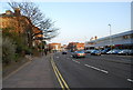
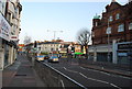
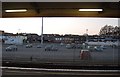
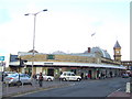
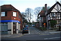
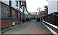
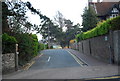
100 photos from this area
Area Information
Key information about the BN21 2LQ including its size, population, and administrative classification.
- Area Type
- Postcode
- Area Size
- 1.0 hectares
- Population
- 1595
- Population Density
- 5044 people/km²
House Prices in BN21 2LQ
23
Properties
£305,136
Average Sold Price
£86,000
Lowest Price
£485,000
Highest Price
Showing 23 properties
| Address | Type | Beds | Baths | Last Sale Price | Last Sale Date | |
|---|---|---|---|---|---|---|
| 1 Laleham Close, Eastbourne, BN21 2LQ | Detached | 3 | 1 | £485,000 | Aug 2023 | |
| 4 Laleham Close, Eastbourne, BN21 2LQ | Bungalow | 2 | 1 | £335,000 | Mar 2021 | |
| 3 Laleham Close, Eastbourne, BN21 2LQ | Detached | 3 | 1 | £375,000 | Mar 2020 | |
| 9 Laleham Close, Eastbourne, BN21 2LQ | house | 4 | 1 | £365,000 | Mar 2015 | |
| 7 Laleham Close, Eastbourne, BN21 2LQ | Semi-detached | - | - | £279,950 | May 2006 | |
| Hillcrest, 11 Laleham Close, Eastbourne, BN21 2LQ | Detached | - | - | £210,000 | Aug 2003 | |
| 10 Laleham Close, Eastbourne, BN21 2LQ | Terraced | - | - | £86,000 | Jun 1997 | |
| Flat 16, Laleham Court, Laleham Close, Eastbourne, BN21 2LQ | Flat | 2 | 1 | - | - | |
| Flat 23, Laleham Court, Laleham Close, Eastbourne, BN21 2LQ | Flat | 2 | 1 | - | - | |
| Flat 22, Laleham Court, Laleham Close, Eastbourne, BN21 2LQ | Flat | - | - | - | - |
Page 1 of 3
Energy Efficiency in BN21 2LQ
Amenities
Schools
| Rank | School | Type | Entry gender | Ages |
|---|
Explore more schools in this area
Go to Schools tabDemographics
Household Size
One person
most common
Accommodation Type
Flats
most common
Tenure
62
majority
Ethnic Group
White
most common
Religion
N/A
most common
Household Composition
N/A
most common
Age
47
median
Adults (30-64 years)
most common
Household Deprivation
N/A
with no deprivation
NS-SEC
39
in Lower managerial occupations
Explore more demographic insights in this area
Go to Demographics tabPlanning
Planning Constraints
- Flood RiskPremium
- Ramsar Wetland SitesPremium
- Area of Outstanding Natural BeautyPremium
- Protected Nature ReservePremium
- Protected WoodlandPremium