Area Overview for BN21 2BY
Photos of BN21 2BY
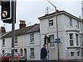
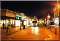
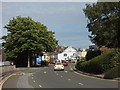
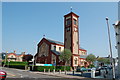
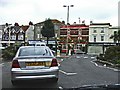
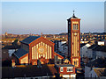
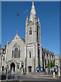
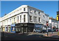


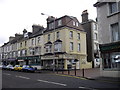
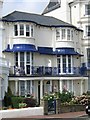
100 photos from this area
Area Information
Key information about the BN21 2BY including its size, population, and administrative classification.
- Area Type
- Postcode
- Area Size
- 1.1 hectares
- Population
- Not available
- Population Density
- Not available
House Prices in BN21 2BY
16
Properties
£352,744
Average Sold Price
£159,950
Lowest Price
£505,000
Highest Price
Showing 16 properties
| Address | Type | Beds | Baths | Last Sale Price | Last Sale Date | |
|---|---|---|---|---|---|---|
| Flat 3, 3 Lewes Road, Eastbourne, BN21 2BY | Flat | 1 | 1 | £159,950 | Jul 2025 | |
| 19 Lewes Road, Eastbourne, BN21 2BY | Semi-detached | 1 | 2 | £485,000 | Mar 2021 | |
| 11 Lewes Road, Eastbourne, BN21 2BY | Detached | 6 | - | £505,000 | Apr 2017 | |
| 21 Lewes Road, Eastbourne, BN21 2BY | house | 5 | - | £350,000 | Aug 2012 | |
| 9 Lewes Road, Eastbourne, BN21 2BY | Flat | 3 | 1 | £425,000 | Oct 2008 | |
| 25 Lewes Road, Eastbourne, BN21 2BY | Detached | - | - | £390,000 | Aug 2006 | |
| 1A Lewes Road, Eastbourne, BN21 2BY | Flat | 1 | 1 | £237,000 | Jun 2003 | |
| 7 Lewes Road, Eastbourne, BN21 2BY | Detached | - | - | £270,000 | Dec 2001 | |
| 1 Lewes Road, Eastbourne, BN21 2BY | Flat | 3 | 1 | - | - | |
| Flat 4, 3 Lewes Road, Eastbourne, BN21 2BY | Flat | 2 | 1 | - | - |
Page 1 of 2
Energy Efficiency in BN21 2BY
Amenities
Schools
| Rank | School | Type | Entry gender | Ages |
|---|
Explore more schools in this area
Go to Schools tabDemographics
Household Size
One person
most common
Accommodation Type
Flats
most common
Tenure
48
majority
Ethnic Group
White
most common
Religion
N/A
most common
Household Composition
N/A
most common
Age
47
median
Adults (30-64 years)
most common
Household Deprivation
N/A
with no deprivation
NS-SEC
30
in Lower managerial occupations
Explore more demographic insights in this area
Go to Demographics tabPlanning
Planning Constraints
- Flood RiskPremium
- Ramsar Wetland SitesPremium
- Area of Outstanding Natural BeautyPremium
- Protected Nature ReservePremium
- Protected WoodlandPremium