Area Overview for BN20 9HP
Photos of BN20 9HP
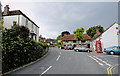
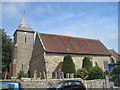
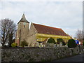
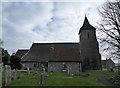
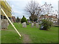
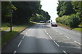
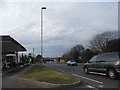
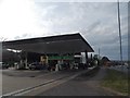
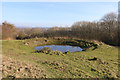
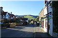
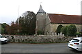
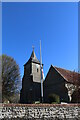
98 photos from this area
Area Information
Key information about the BN20 9HP including its size, population, and administrative classification.
- Area Type
- Postcode
- Area Size
- 8050 m²
- Population
- Not available
- Population Density
- Not available
House Prices in BN20 9HP
15
Properties
£366,600
Average Sold Price
£50,000
Lowest Price
£880,000
Highest Price
Showing 15 properties
| Address | Type | Beds | Baths | Last Sale Price | Last Sale Date | |
|---|---|---|---|---|---|---|
| 7 Church Street, Willingdon, BN20 9HP | Terraced | 2 | 1 | £360,000 | Nov 2025 | |
| 11 Church Street, Willingdon, BN20 9HP | Terraced | 2 | - | £350,000 | Sep 2024 | |
| 6 Church Street, Willingdon, BN20 9HP | house | - | - | £460,000 | Jul 2022 | |
| 2A Church Street, Willingdon, BN20 9HP | Retail | 4 | 2 | £880,000 | Feb 2022 | |
| 1 Church Street, Willingdon, BN20 9HP | house | - | - | £655,000 | May 2021 | |
| 3 Church Street, Willingdon, BN20 9HP | Terraced | 2 | 1 | £335,000 | Aug 2019 | |
| 10 Church Street, Willingdon, BN20 9HP | house | 3 | - | £223,000 | Dec 2011 | |
| 5 Church Street, Willingdon, BN20 9HP | Terraced | - | - | £209,000 | Apr 2006 | |
| 8 Church Street, Willingdon, BN20 9HP | Terraced | - | - | £144,000 | Jan 2002 | |
| 9 Church Street, Willingdon, BN20 9HP | house | - | - | £50,000 | Apr 1997 |
Page 1 of 2
Energy Efficiency in BN20 9HP
Amenities
Schools
| Rank | School | Type | Entry gender | Ages |
|---|
Explore more schools in this area
Go to Schools tabDemographics
Household Size
Two person
most common
Accommodation Type
Houses
most common
Tenure
91
majority
Ethnic Group
White
most common
Religion
N/A
most common
Household Composition
N/A
most common
Age
47
median
Adults (30-64 years)
most common
Household Deprivation
N/A
with no deprivation
NS-SEC
41
in Lower managerial occupations
Explore more demographic insights in this area
Go to Demographics tabPlanning
Planning Constraints
- Flood RiskPremium
- Ramsar Wetland SitesPremium
- Area of Outstanding Natural BeautyPremium
- Protected Nature ReservePremium
- Protected WoodlandPremium