Area Overview for BN2 8LZ
Photos of BN2 8LZ
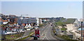
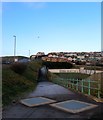
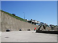
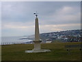
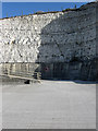
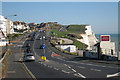
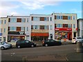
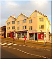
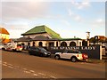
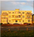
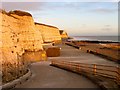
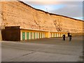
100 photos from this area
Area Information
Key information about the BN2 8LZ including its size, population, and administrative classification.
- Area Type
- Postcode
- Area Size
- 4903 m²
- Population
- 1973
- Population Density
- 3371 people/km²
House Prices in BN2 8LZ
21
Properties
£164,411
Average Sold Price
£19,000
Lowest Price
£330,000
Highest Price
Showing 21 properties
| Address | Type | Beds | Baths | Last Sale Price | Last Sale Date | |
|---|---|---|---|---|---|---|
| 15, Teynham House, Marine Drive, Saltdean, Brighton, BN2 8LZ | Flat | 1 | 1 | £147,000 | Apr 2025 | |
| 12, Teynham House, Marine Drive, Saltdean, Brighton, BN2 8LZ | Flat | - | - | £330,000 | Dec 2022 | |
| 10, Teynham House, Marine Drive, Saltdean, Brighton, BN2 8LZ | Flat | 1 | 1 | £205,000 | Oct 2022 | |
| 7, Teynham House, Marine Drive, Saltdean, Brighton, BN2 8LZ | Flat | 2 | 1 | £265,000 | Apr 2021 | |
| 16, Teynham House, Marine Drive, Saltdean, Brighton, BN2 8LZ | Flat | 1 | 1 | £157,500 | Jun 2020 | |
| 8, Teynham House, Marine Drive, Saltdean, Brighton, BN2 8LZ | Flat | - | - | £250,000 | Mar 2020 | |
| 1, Teynham House, Marine Drive, Saltdean, Brighton, BN2 8LZ | Flat | - | - | £190,000 | May 2018 | |
| 3, Teynham House, Marine Drive, Saltdean, Brighton, BN2 8LZ | Flat | 1 | 1 | £160,000 | May 2015 | |
| 6, Teynham House, Marine Drive, Saltdean, Brighton, BN2 8LZ | Flat | 2 | 1 | £210,000 | Mar 2015 | |
| 11, Teynham House, Marine Drive, Saltdean, Brighton, BN2 8LZ | Flat | - | - | £125,000 | Mar 2010 |
Page 1 of 3
Energy Efficiency in BN2 8LZ
Amenities
Schools
| Rank | School | Type | Entry gender | Ages |
|---|
Explore more schools in this area
Go to Schools tabDemographics
Household Size
Two person
most common
Accommodation Type
Houses
most common
Tenure
73
majority
Ethnic Group
White
most common
Religion
N/A
most common
Household Composition
N/A
most common
Age
47
median
Adults (30-64 years)
most common
Household Deprivation
N/A
with no deprivation
NS-SEC
46
in Lower managerial occupations
Explore more demographic insights in this area
Go to Demographics tabPlanning
Planning Constraints
- Flood RiskPremium
- Ramsar Wetland SitesPremium
- Area of Outstanding Natural BeautyPremium
- Protected Nature ReservePremium
- Protected WoodlandPremium