Area Overview for BN2 8FE
Photos of BN2 8FE
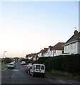
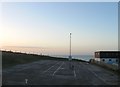
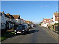
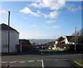
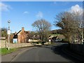
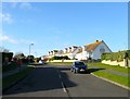
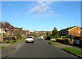
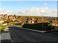
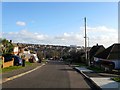
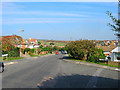
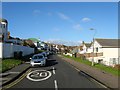
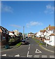
100 photos from this area
Area Information
Key information about the BN2 8FE including its size, population, and administrative classification.
- Area Type
- Postcode
- Area Size
- 1.5 hectares
- Population
- 1811
- Population Density
- 3373 people/km²
House Prices in BN2 8FE
34
Properties
£275,176
Average Sold Price
£59,500
Lowest Price
£574,408
Highest Price
Showing 34 properties
| Address | Type | Beds | Baths | Last Sale Price | Last Sale Date | |
|---|---|---|---|---|---|---|
| 36 Lustrells Vale, Saltdean, Brighton, BN2 8FE | Detached | 3 | 2 | £551,000 | Apr 2022 | |
| 32 Lustrells Vale, Saltdean, Brighton, BN2 8FE | house | - | - | £515,000 | Sep 2021 | |
| 50 Lustrells Vale, Saltdean, Brighton, BN2 8FE | house | - | - | £435,000 | May 2021 | |
| 42 Lustrells Vale, Saltdean, Brighton, BN2 8FE | Bungalow | 2 | 1 | £305,000 | Dec 2019 | |
| 20 Lustrells Vale, Saltdean, Brighton, BN2 8FE | Detached | 2 | 1 | £290,000 | Apr 2019 | |
| 52 Lustrells Vale, Saltdean, Brighton, BN2 8FE | Bungalow | 2 | - | £574,408 | Oct 2017 | |
| 34 Lustrells Vale, Saltdean, Brighton, BN2 8FE | Bungalow | 2 | - | £315,000 | Dec 2016 | |
| 30 Lustrells Vale, Saltdean, Brighton, BN2 8FE | Bungalow | - | - | £375,000 | Aug 2016 | |
| 12 Lustrells Vale, Saltdean, Brighton, BN2 8FE | Detached | 3 | 1 | £300,000 | Oct 2014 | |
| 40 Lustrells Vale, Saltdean, Brighton, BN2 8FE | Detached | 3 | 1 | £317,000 | Sep 2014 |
Page 1 of 4
Energy Efficiency in BN2 8FE
Amenities
Schools
| Rank | School | Type | Entry gender | Ages |
|---|
Explore more schools in this area
Go to Schools tabDemographics
Household Size
Two person
most common
Accommodation Type
Houses
most common
Tenure
77
majority
Ethnic Group
White
most common
Religion
N/A
most common
Household Composition
N/A
most common
Age
47
median
Adults (30-64 years)
most common
Household Deprivation
N/A
with no deprivation
NS-SEC
39
in Lower managerial occupations
Explore more demographic insights in this area
Go to Demographics tabPlanning
Planning Constraints
- Flood RiskPremium
- Ramsar Wetland SitesPremium
- Area of Outstanding Natural BeautyPremium
- Protected Nature ReservePremium
- Protected WoodlandPremium