Area Overview for BN2 7GR
Photos of BN2 7GR
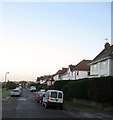
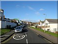
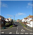
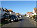
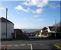
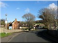
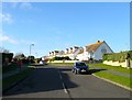
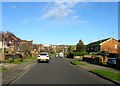
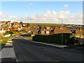
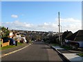
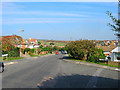
100 photos from this area
Area Information
Key information about the BN2 7GR including its size, population, and administrative classification.
- Area Type
- Postcode
- Area Size
- 1.2 hectares
- Population
- 1466
- Population Density
- 1577 people/km²
House Prices in BN2 7GR
14
Properties
£345,111
Average Sold Price
£207,500
Lowest Price
£532,500
Highest Price
Showing 14 properties
| Address | Type | Beds | Baths | Last Sale Price | Last Sale Date | |
|---|---|---|---|---|---|---|
| 2 Knole Road, Rottingdean, Brighton, BN2 7GR | Detached | 3 | - | £532,500 | Jun 2021 | |
| Overfell, 4A Knole Road, Rottingdean, Brighton, BN2 7GR | Semi-detached | 2 | 2 | £392,500 | Sep 2016 | |
| 4 Knole Road, Rottingdean, Brighton, BN2 7GR | Bungalow | - | - | £350,000 | Nov 2012 | |
| 12 Knole Road, Rottingdean, Brighton, BN2 7GR | house | 3 | - | £430,000 | Jan 2011 | |
| 5 Knole Road, Rottingdean, Brighton, BN2 7GR | house | - | - | £382,500 | Oct 2009 | |
| 8 Knole Road, Rottingdean, Brighton, BN2 7GR | Detached | 4 | 2 | £335,000 | Aug 2006 | |
| Knole Cottage, 14 Knole Road, Rottingdean, Brighton, BN2 7GR | Retail | 4 | 2 | £250,000 | Jan 2005 | |
| 1 Knole Road, Rottingdean, Brighton, BN2 7GR | Detached | 3 | - | £207,500 | Apr 2002 | |
| 7 Knole Road, Rottingdean, Brighton, BN2 7GR | Bungalow | 3 | 2 | £226,000 | Jun 2000 | |
| 12A Knole Road, Rottingdean, Brighton, BN2 7GR | house | - | - | - | - |
Page 1 of 2
Energy Efficiency in BN2 7GR
Amenities
Schools
| Rank | School | Type | Entry gender | Ages |
|---|
Explore more schools in this area
Go to Schools tabDemographics
Household Size
Two person
most common
Accommodation Type
Houses
most common
Tenure
81
majority
Ethnic Group
White
most common
Religion
N/A
most common
Household Composition
N/A
most common
Age
47
median
Adults (30-64 years)
most common
Household Deprivation
N/A
with no deprivation
NS-SEC
48
in Lower managerial occupations
Explore more demographic insights in this area
Go to Demographics tabPlanning
Planning Constraints
- Flood RiskPremium
- Ramsar Wetland SitesPremium
- Area of Outstanding Natural BeautyPremium
- Protected Nature ReservePremium
- Protected WoodlandPremium