Area Overview for BN2 7FG
Photos of BN2 7FG
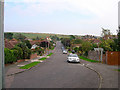
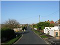
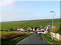
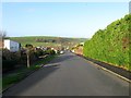
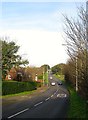
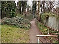
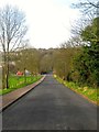
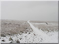
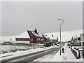
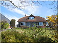
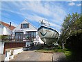
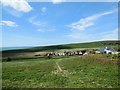
35 photos from this area
Area Information
Key information about the BN2 7FG including its size, population, and administrative classification.
- Area Type
- Postcode
- Area Size
- 2.6 hectares
- Population
- 1647
- Population Density
- 578 people/km²
House Prices in BN2 7FG
42
Properties
£335,763
Average Sold Price
£77,000
Lowest Price
£675,000
Highest Price
Showing 42 properties
| Address | Type | Beds | Baths | Last Sale Price | Last Sale Date | |
|---|---|---|---|---|---|---|
| 47 Eley Drive, Rottingdean, Brighton, BN2 7FG | Semi-detached | 4 | 1 | £612,500 | Jul 2024 | |
| 76 Eley Drive, Rottingdean, Brighton, BN2 7FG | Retail | 3 | 1 | £454,000 | Jul 2023 | |
| 78 Eley Drive, Rottingdean, Brighton, BN2 7FG | Bungalow | - | - | £545,000 | Mar 2023 | |
| 71 Eley Drive, Rottingdean, Brighton, BN2 7FG | Detached | 3 | 1 | £595,000 | Nov 2022 | |
| 43 Eley Drive, Rottingdean, Brighton, BN2 7FG | Retail | 3 | 1 | £640,000 | Oct 2022 | |
| 67 Eley Drive, Rottingdean, Brighton, BN2 7FG | house | - | - | £675,000 | May 2021 | |
| 50 Eley Drive, Rottingdean, Brighton, BN2 7FG | Detached | 4 | 2 | £566,000 | Jan 2021 | |
| 70 Eley Drive, Rottingdean, Brighton, BN2 7FG | Bungalow | - | - | £345,000 | Jun 2020 | |
| 55 Eley Drive, Rottingdean, Brighton, BN2 7FG | Bungalow | 4 | 2 | £457,500 | Mar 2020 | |
| 60 Eley Drive, Rottingdean, Brighton, BN2 7FG | Detached | 4 | 2 | £429,000 | Jan 2020 |
Page 1 of 5
Energy Efficiency in BN2 7FG
Amenities
Schools
| Rank | School | Type | Entry gender | Ages |
|---|
Explore more schools in this area
Go to Schools tabDemographics
Household Size
Two person
most common
Accommodation Type
Houses
most common
Tenure
87
majority
Ethnic Group
White
most common
Religion
N/A
most common
Household Composition
N/A
most common
Age
47
median
Adults (30-64 years)
most common
Household Deprivation
N/A
with no deprivation
NS-SEC
48
in Lower managerial occupations
Explore more demographic insights in this area
Go to Demographics tabPlanning
Planning Constraints
- Flood RiskPremium
- Ramsar Wetland SitesPremium
- Area of Outstanding Natural BeautyPremium
- Protected Nature ReservePremium
- Protected WoodlandPremium