Area Overview for BN2 7DP
Photos of BN2 7DP
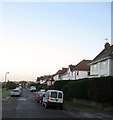
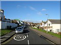
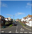
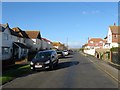
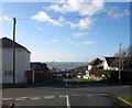
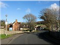
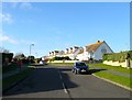
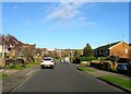
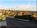
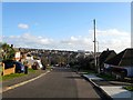
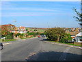
100 photos from this area
Area Information
Key information about the BN2 7DP including its size, population, and administrative classification.
- Area Type
- Postcode
- Area Size
- 5.3 hectares
- Population
- 1716
- Population Density
- 1192 people/km²
House Prices in BN2 7DP
46
Properties
£676,272
Average Sold Price
£150,627
Lowest Price
£1,450,000
Highest Price
Showing 46 properties
| Address | Type | Beds | Baths | Last Sale Price | Last Sale Date | |
|---|---|---|---|---|---|---|
| 17 Gorham Avenue, Rottingdean, Brighton, BN2 7DP | Bungalow | - | - | £700,000 | Oct 2024 | |
| 22 Gorham Avenue, Rottingdean, Brighton, BN2 7DP | Detached | 5 | 2 | £1,000,111 | Mar 2023 | |
| 45 Gorham Avenue, Rottingdean, Brighton, BN2 7DP | Detached | 2 | 1 | £775,000 | Jul 2022 | |
| 18 Gorham Avenue, Rottingdean, Brighton, BN2 7DP | Detached | 3 | 2 | £750,000 | Mar 2022 | |
| 42 Gorham Avenue, Rottingdean, Brighton, BN2 7DP | Detached | 5 | 4 | £1,225,000 | Jan 2022 | |
| 41 Gorham Avenue, Rottingdean, Brighton, BN2 7DP | house | - | - | £1,198,500 | Sep 2021 | |
| 33 Gorham Avenue, Rottingdean, Brighton, BN2 7DP | house | - | - | £1,450,000 | Nov 2020 | |
| 10 Gorham Avenue, Rottingdean, Brighton, BN2 7DP | Detached | 4 | - | £592,000 | Mar 2020 | |
| 4 Gorham Avenue, Rottingdean, Brighton, BN2 7DP | Detached | 3 | 2 | £602,000 | Jun 2018 | |
| 44 Gorham Avenue, Rottingdean, Brighton, BN2 7DP | Detached | 6 | 4 | £950,000 | May 2018 |
Page 1 of 5
Energy Efficiency in BN2 7DP
Amenities
Schools
| Rank | School | Type | Entry gender | Ages |
|---|
Explore more schools in this area
Go to Schools tabDemographics
Household Size
Two person
most common
Accommodation Type
Houses
most common
Tenure
74
majority
Ethnic Group
White
most common
Religion
N/A
most common
Household Composition
N/A
most common
Age
47
median
Adults (30-64 years)
most common
Household Deprivation
N/A
with no deprivation
NS-SEC
49
in Lower managerial occupations
Explore more demographic insights in this area
Go to Demographics tabPlanning
Planning Constraints
- Flood RiskPremium
- Ramsar Wetland SitesPremium
- Area of Outstanding Natural BeautyPremium
- Protected Nature ReservePremium
- Protected WoodlandPremium