Area Overview for BN2 6NG
Photos of BN2 6NG
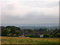
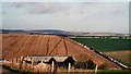
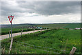
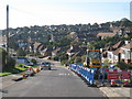

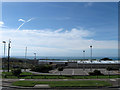
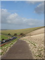
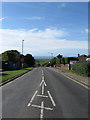
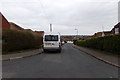
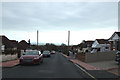
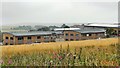
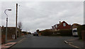
33 photos from this area
Area Information
Key information about the BN2 6NG including its size, population, and administrative classification.
- Area Type
- Postcode
- Area Size
- 2.4 hectares
- Population
- 1595
- Population Density
- 3216 people/km²
House Prices in BN2 6NG
60
Properties
£184,535
Average Sold Price
£42,000
Lowest Price
£345,000
Highest Price
Showing 60 properties
| Address | Type | Beds | Baths | Last Sale Price | Last Sale Date | |
|---|---|---|---|---|---|---|
| 66 Sandhurst Avenue, Brighton, BN2 6NG | house | - | - | £320,000 | May 2022 | |
| 22 Sandhurst Avenue, Brighton, BN2 6NG | house | - | - | £331,000 | Aug 2021 | |
| 52 Sandhurst Avenue, Brighton, BN2 6NG | house | - | - | £285,000 | Jan 2021 | |
| 30 Sandhurst Avenue, Brighton, BN2 6NG | house | 3 | - | £298,000 | Dec 2020 | |
| 70 Sandhurst Avenue, Brighton, BN2 6NG | house | 3 | 1 | £300,000 | Feb 2020 | |
| 28 Sandhurst Avenue, Brighton, BN2 6NG | house | - | - | £293,000 | Nov 2019 | |
| 6 Sandhurst Avenue, Brighton, BN2 6NG | house | - | - | £345,000 | Jun 2019 | |
| 120 Sandhurst Avenue, Brighton, BN2 6NG | Detached | 2 | 1 | £299,000 | Nov 2018 | |
| 92 Sandhurst Avenue, Brighton, BN2 6NG | Detached | - | - | £270,000 | Dec 2017 | |
| 94 Sandhurst Avenue, Brighton, BN2 6NG | house | 2 | - | £286,000 | Sep 2016 |
Page 1 of 6
Energy Efficiency in BN2 6NG
Amenities
Schools
| Rank | School | Type | Entry gender | Ages |
|---|
Explore more schools in this area
Go to Schools tabDemographics
Household Size
Family (3-5 people)
most common
Accommodation Type
Houses
most common
Tenure
52
majority
Ethnic Group
White
most common
Religion
N/A
most common
Household Composition
N/A
most common
Age
47
median
Adults (30-64 years)
most common
Household Deprivation
N/A
with no deprivation
NS-SEC
26
in Lower managerial occupations
Explore more demographic insights in this area
Go to Demographics tabPlanning
Planning Constraints
- Flood RiskPremium
- Ramsar Wetland SitesPremium
- Area of Outstanding Natural BeautyPremium
- Protected Nature ReservePremium
- Protected WoodlandPremium