Area Overview for BN2 5RG
Photos of BN2 5RG
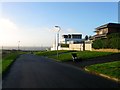
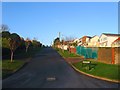
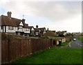
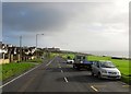
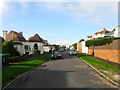
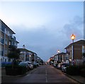

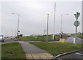
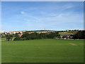
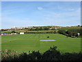
100 photos from this area
Area Information
Key information about the BN2 5RG including its size, population, and administrative classification.
- Area Type
- Postcode
- Area Size
- 92.4 hectares
- Population
- 2204
- Population Density
- 1194 people/km²
House Prices in BN2 5RG
26
Properties
£1,322,524
Average Sold Price
£10,000
Lowest Price
£3,150,000
Highest Price
Showing 26 properties
| Address | Type | Beds | Baths | Last Sale Price | Last Sale Date | |
|---|---|---|---|---|---|---|
| 53 Roedean Crescent, Brighton, BN2 5RG | Detached | 6 | 5 | £1,725,000 | Oct 2023 | |
| 21 Roedean Crescent, Brighton, BN2 5RG | Detached | 3 | 2 | £1,810,000 | Sep 2022 | |
| 29 Roedean Crescent, Brighton, BN2 5RG | house | - | - | £1,500,000 | Aug 2022 | |
| 19 Roedean Crescent, Brighton, BN2 5RG | Detached | 6 | 5 | £10,472 | May 2022 | |
| 55 Roedean Crescent, Brighton, BN2 5RG | house | - | - | £2,500,000 | Aug 2021 | |
| 5 Roedean Crescent, Brighton, BN2 5RG | house | - | - | £2,950,000 | May 2021 | |
| 15 Roedean Crescent, Brighton, BN2 5RG | house | 5 | - | £10,000 | Mar 2021 | |
| 33 Roedean Crescent, Brighton, BN2 5RG | Detached | 3 | 2 | £1,200,000 | Nov 2020 | |
| 35 Roedean Crescent, Brighton, BN2 5RG | Detached | 5 | - | £1,225,000 | Oct 2020 | |
| Bleeque, 23 Roedean Crescent, Brighton, BN2 5RG | Detached | 5 | 5 | £2,800,000 | Sep 2019 |
Page 1 of 3
Energy Efficiency in BN2 5RG
Amenities
Schools
| Rank | School | Type | Entry gender | Ages |
|---|
Explore more schools in this area
Go to Schools tabDemographics
Household Size
One person
most common
Accommodation Type
Flats
most common
Tenure
41
majority
Ethnic Group
White
most common
Religion
N/A
most common
Household Composition
N/A
most common
Age
47
median
Adults (30-64 years)
most common
Household Deprivation
N/A
with no deprivation
NS-SEC
44
in Lower managerial occupations
Explore more demographic insights in this area
Go to Demographics tabPlanning
Planning Constraints
- Flood RiskPremium
- Ramsar Wetland SitesPremium
- Area of Outstanding Natural BeautyPremium
- Protected Nature ReservePremium
- Protected WoodlandPremium