Area Overview for BN18 9DX
Photos of BN18 9DX
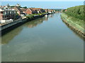
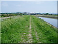
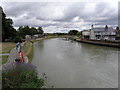

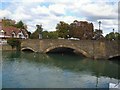


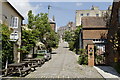
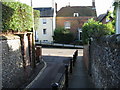
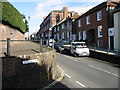
100 photos from this area
Area Information
Key information about the BN18 9DX including its size, population, and administrative classification.
- Area Type
- Postcode
- Area Size
- 1.7 hectares
- Population
- 1488
- Population Density
- 1110 people/km²
House Prices in BN18 9DX
22
Properties
£318,580
Average Sold Price
£59,950
Lowest Price
£500,000
Highest Price
Showing 22 properties
| Address | Type | Beds | Baths | Last Sale Price | Last Sale Date | |
|---|---|---|---|---|---|---|
| 15 Ford Road, Arundel, BN18 9DX | Terraced | 2 | 1 | £374,000 | Mar 2025 | |
| 13 Ford Road, Arundel, BN18 9DX | house | - | - | £500,000 | Jan 2023 | |
| 41 Ford Road, Arundel, BN18 9DX | house | - | - | £415,000 | Oct 2022 | |
| 17 Ford Road, Arundel, BN18 9DX | house | 3 | - | £432,000 | Apr 2021 | |
| 29 Ford Road, Arundel, BN18 9DX | house | - | - | £385,000 | Jun 2020 | |
| 25 Ford Road, Arundel, BN18 9DX | house | - | - | £377,000 | Jan 2020 | |
| 11 Ford Road, Arundel, BN18 9DX | Terraced | 3 | 3 | £357,000 | Aug 2019 | |
| 35 Ford Road, Arundel, BN18 9DX | Terraced | 2 | 1 | £367,500 | Mar 2019 | |
| 7 Ford Road, Arundel, BN18 9DX | Flat | 2 | 2 | £416,000 | Jul 2018 | |
| 31 Ford Road, Arundel, BN18 9DX | Terraced | 3 | 2 | £350,000 | May 2015 |
Page 1 of 3
Energy Efficiency in BN18 9DX
Amenities
Schools
| Rank | School | Type | Entry gender | Ages |
|---|
Explore more schools in this area
Go to Schools tabDemographics
Household Size
One person
most common
Accommodation Type
Houses
most common
Tenure
78
majority
Ethnic Group
White
most common
Religion
N/A
most common
Household Composition
N/A
most common
Age
47
median
Adults (30-64 years)
most common
Household Deprivation
N/A
with no deprivation
NS-SEC
45
in Lower managerial occupations
Explore more demographic insights in this area
Go to Demographics tabPlanning
Planning Constraints
- Flood RiskPremium
- Ramsar Wetland SitesPremium
- Area of Outstanding Natural BeautyPremium
- Protected Nature ReservePremium
- Protected WoodlandPremium