Area Overview for BN17 6WR
Photos of BN17 6WR
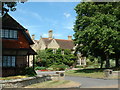
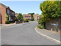
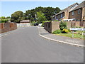
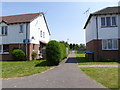
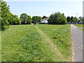
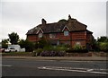
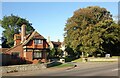
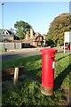
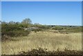
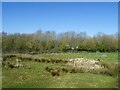
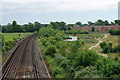
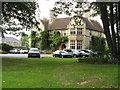
29 photos from this area
Area Information
Key information about the BN17 6WR including its size, population, and administrative classification.
- Area Type
- Postcode
- Area Size
- 4250 m²
- Population
- 1501
- Population Density
- 4073 people/km²
House Prices in BN17 6WR
15
Properties
£244,127
Average Sold Price
£139,000
Lowest Price
£480,000
Highest Price
Showing 15 properties
| Address | Type | Beds | Baths | Last Sale Price | Last Sale Date | |
|---|---|---|---|---|---|---|
| 3 Carnation Close, Littlehampton, BN17 6WR | Detached | 4 | 3 | £480,000 | May 2025 | |
| 2 Carnation Close, Littlehampton, BN17 6WR | Detached | 4 | 2 | £455,000 | Oct 2022 | |
| 15 Carnation Close, Littlehampton, BN17 6WR | Terraced | 2 | - | £280,000 | Oct 2021 | |
| 16 Carnation Close, Littlehampton, BN17 6WR | Terraced | 3 | - | £310,000 | Jul 2021 | |
| 9 Carnation Close, Littlehampton, BN17 6WR | house | - | - | £217,000 | Sep 2018 | |
| 8 Carnation Close, Littlehampton, BN17 6WR | Terraced | 3 | 1 | £259,950 | Nov 2017 | |
| 4 Carnation Close, Littlehampton, BN17 6WR | Terraced | 2 | 2 | £243,000 | Nov 2014 | |
| 12 Carnation Close, Littlehampton, BN17 6WR | Terraced | 2 | 2 | £179,000 | Apr 2013 | |
| 14 Carnation Close, Littlehampton, BN17 6WR | house | - | - | £177,000 | Jun 2010 | |
| 6 Carnation Close, Littlehampton, BN17 6WR | house | - | - | £154,000 | Jun 2009 |
Page 1 of 2
Energy Efficiency in BN17 6WR
Amenities
Schools
| Rank | School | Type | Entry gender | Ages |
|---|
Explore more schools in this area
Go to Schools tabDemographics
Household Size
Two person
most common
Accommodation Type
Houses
most common
Tenure
75
majority
Ethnic Group
White
most common
Religion
N/A
most common
Household Composition
N/A
most common
Age
47
median
Adults (30-64 years)
most common
Household Deprivation
N/A
with no deprivation
NS-SEC
37
in Lower managerial occupations
Explore more demographic insights in this area
Go to Demographics tabPlanning
Planning Constraints
- Flood RiskPremium
- Ramsar Wetland SitesPremium
- Area of Outstanding Natural BeautyPremium
- Protected Nature ReservePremium
- Protected WoodlandPremium