Area Overview for BN16 4JU
Photos of BN16 4JU
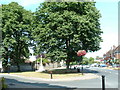
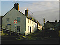

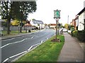
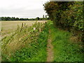
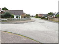
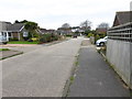
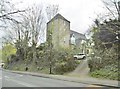
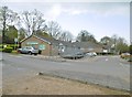
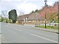
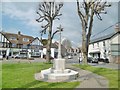
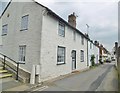
71 photos from this area
Area Information
Key information about the BN16 4JU including its size, population, and administrative classification.
- Area Type
- Postcode
- Area Size
- 16.7 hectares
- Population
- 1566
- Population Density
- 2290 people/km²
House Prices in BN16 4JU
18
Properties
£723,244
Average Sold Price
£430,000
Lowest Price
£1,100,000
Highest Price
Showing 18 properties
| Address | Type | Beds | Baths | Last Sale Price | Last Sale Date | |
|---|---|---|---|---|---|---|
| Orchard Cottage, Rectory Lane, Angmering, BN16 4JU | Detached | 4 | 3 | £795,000 | Oct 2019 | |
| Holly Lodge, Rectory Lane, Angmering, BN16 4JU | Bungalow | 4 | 2 | £616,000 | Aug 2019 | |
| Grey Barn, Rectory Lane, Angmering, BN16 4JU | house | 6 | 3 | £1,100,000 | Feb 2017 | |
| Elm Lodge, Rectory Lane, Angmering, BN16 4JU | Detached | 5 | 2 | £899,950 | Mar 2016 | |
| Church View, Rectory Lane, Angmering, BN16 4JU | Detached | - | - | £599,999 | Apr 2010 | |
| The White Lodge, Rectory Lane, Angmering, BN16 4JU | house | 6 | - | £660,000 | Jul 2001 | |
| Church Farm House, Rectory Lane, Angmering, BN16 4JU | Detached | 6 | 3 | £685,000 | Feb 2001 | |
| Red Tiles, Rectory Lane, Angmering, BN16 4JU | Bungalow | 4 | 2 | £430,000 | Dec 2000 | |
| The Rectory, Rectory Lane, Angmering, BN16 4JU | Detached | 6 | - | - | - | |
| The Old Dairy House, Old Place Farm, Rectory Lane, Angmering, BN16 4JU | Detached | - | - | - | - |
Page 1 of 2
Energy Efficiency in BN16 4JU
Amenities
Schools
| Rank | School | Type | Entry gender | Ages |
|---|
Explore more schools in this area
Go to Schools tabDemographics
Household Size
Two person
most common
Accommodation Type
Houses
most common
Tenure
78
majority
Ethnic Group
White
most common
Religion
N/A
most common
Household Composition
N/A
most common
Age
47
median
Adults (30-64 years)
most common
Household Deprivation
N/A
with no deprivation
NS-SEC
32
in Lower managerial occupations
Explore more demographic insights in this area
Go to Demographics tabPlanning
Planning Constraints
- Flood RiskPremium
- Ramsar Wetland SitesPremium
- Area of Outstanding Natural BeautyPremium
- Protected Nature ReservePremium
- Protected WoodlandPremium