Area Overview for BN16 3TQ
Photos of BN16 3TQ
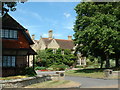
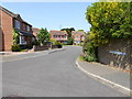
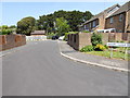
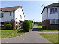
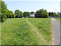
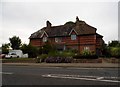
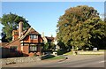
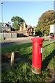
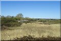
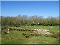
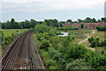
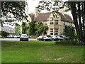
29 photos from this area
Area Information
Key information about the BN16 3TQ including its size, population, and administrative classification.
- Area Type
- Postcode
- Area Size
- 6311 m²
- Population
- Not available
- Population Density
- Not available
House Prices in BN16 3TQ
18
Properties
£279,716
Average Sold Price
£137,995
Lowest Price
£482,500
Highest Price
Showing 18 properties
| Address | Type | Beds | Baths | Last Sale Price | Last Sale Date | |
|---|---|---|---|---|---|---|
| 11 Hamilton Drive, Rustington, BN16 3TQ | Detached | 3 | 2 | £415,000 | Jul 2023 | |
| 9 Hamilton Drive, Rustington, BN16 3TQ | Detached | 4 | 2 | £482,500 | May 2023 | |
| 27 Hamilton Drive, Rustington, BN16 3TQ | house | - | - | £435,000 | Sep 2020 | |
| 21 Hamilton Drive, Rustington, BN16 3TQ | Detached | 4 | 1 | £380,000 | Mar 2018 | |
| 10 Hamilton Drive, Rustington, BN16 3TQ | Detached | 3 | - | £310,000 | Jul 2015 | |
| 3 Hamilton Drive, Rustington, BN16 3TQ | Detached | 4 | - | £250,000 | Mar 2012 | |
| 25 Hamilton Drive, Rustington, BN16 3TQ | house | - | - | £310,000 | Nov 2009 | |
| 17 Hamilton Drive, Rustington, BN16 3TQ | Detached | - | - | £299,950 | Dec 2006 | |
| 7 Hamilton Drive, Rustington, BN16 3TQ | Detached | - | - | £273,500 | Feb 2005 | |
| 8 Hamilton Drive, Rustington, BN16 3TQ | Detached | - | - | £238,000 | Aug 2004 |
Page 1 of 2
Energy Efficiency in BN16 3TQ
Amenities
Schools
| Rank | School | Type | Entry gender | Ages |
|---|
Explore more schools in this area
Go to Schools tabDemographics
Household Size
Two person
most common
Accommodation Type
Houses
most common
Tenure
88
majority
Ethnic Group
White
most common
Religion
N/A
most common
Household Composition
N/A
most common
Age
47
median
Adults (30-64 years)
most common
Household Deprivation
N/A
with no deprivation
NS-SEC
35
in Lower managerial occupations
Explore more demographic insights in this area
Go to Demographics tabPlanning
Planning Constraints
- Flood RiskPremium
- Ramsar Wetland SitesPremium
- Area of Outstanding Natural BeautyPremium
- Protected Nature ReservePremium
- Protected WoodlandPremium