Area Overview for BN16 3SB
Photos of BN16 3SB
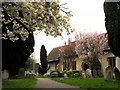
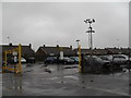
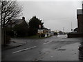
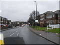
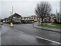
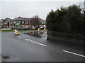
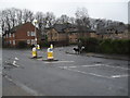
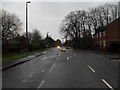
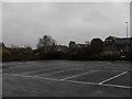
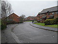
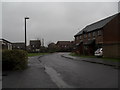
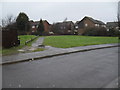
100 photos from this area
Area Information
Key information about the BN16 3SB including its size, population, and administrative classification.
- Area Type
- Postcode
- Area Size
- 9149 m²
- Population
- Not available
- Population Density
- Not available
House Prices in BN16 3SB
29
Properties
£345,288
Average Sold Price
£50,000
Lowest Price
£1,965,000
Highest Price
Showing 29 properties
| Address | Type | Beds | Baths | Last Sale Price | Last Sale Date | |
|---|---|---|---|---|---|---|
| 15 Ascot Way, Rustington, BN16 3SB | Semi-detached | 3 | 1 | £1,965,000 | Sep 2025 | |
| 9 Ascot Way, Rustington, BN16 3SB | Terraced | 3 | 1 | £290,000 | Aug 2024 | |
| 4 Ascot Way, Rustington, BN16 3SB | Semi-detached | 3 | 2 | £340,000 | Dec 2022 | |
| 2 Ascot Way, Rustington, BN16 3SB | Semi-detached | 3 | 2 | £350,000 | Sep 2022 | |
| 8 Ascot Way, Rustington, BN16 3SB | Semi-detached | 3 | 1 | £287,500 | Nov 2018 | |
| 5 Ascot Way, Rustington, BN16 3SB | Terraced | 3 | - | £150,000 | May 2011 | |
| 10 Ascot Way, Rustington, BN16 3SB | house | - | - | £220,000 | Sep 2008 | |
| 3 Ascot Way, Rustington, BN16 3SB | Detached | - | - | £198,000 | Aug 2006 | |
| 7 Ascot Way, Rustington, BN16 3SB | house | - | - | £132,000 | Jan 2003 | |
| 6 Ascot Way, Rustington, BN16 3SB | Semi-detached | - | - | £89,950 | Jan 2000 |
Page 1 of 3
Energy Efficiency in BN16 3SB
Amenities
Schools
| Rank | School | Type | Entry gender | Ages |
|---|
Explore more schools in this area
Go to Schools tabDemographics
Household Size
One person
most common
Accommodation Type
Houses
most common
Tenure
57
majority
Ethnic Group
White
most common
Religion
N/A
most common
Household Composition
N/A
most common
Age
47
median
Adults (30-64 years)
most common
Household Deprivation
N/A
with no deprivation
NS-SEC
26
in Lower managerial occupations
Explore more demographic insights in this area
Go to Demographics tabPlanning
Planning Constraints
- Flood RiskPremium
- Ramsar Wetland SitesPremium
- Area of Outstanding Natural BeautyPremium
- Protected Nature ReservePremium
- Protected WoodlandPremium